MyTopo
Treloar Missouri US Topo Map
Couldn't load pickup availability
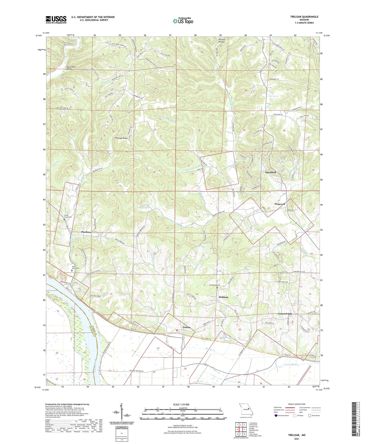
2021 topographic map quadrangle Treloar in the state of Missouri. Scale: 1:24000. Based on the newly updated USGS 7.5' US Topo map series, this map is in the following counties: Warren, Franklin. The map contains contour data, water features, and other items you are used to seeing on USGS maps, but also has updated roads and other features. This is the next generation of topographic maps. Printed on high-quality waterproof paper with UV fade-resistant inks.
Quads adjacent to this one:
West: Berger
Northwest: Jonesburg
North: Warrenton
Northeast: Wright City
East: Marthasville
Southeast: Washington West
South: New Haven
Southwest: Dissen
This map covers the same area as the classic USGS quad with code o38091f2.
Contains the following named places: Aspenhoff, Aspenhoff Lake Dam, Bierbaum School, Concord Hill, Devils Den Hollow, Duncan Lake, Gofeld, Gofeld Post Office, Hoefeld Church, Holstein, Holstein High School, Holstein School, Hopewell, Hopewell Creek, Hopewell School, Howard Branch, Immanuel Evangelical and Reformed Church, Immanuels Cemetery, Kochs Creek, Krueger Lake, Krueger Lake Dam, Kruegerville, Kruegerville School, Little Dry Fork, Lucks Lake Dam, Marthasville Volunteer Fire Department Station 2, Pepplemeyer Branch, Pinckney, Pinckney Ridge, Polston Hollow, Ruegge Lake Dam, Saint Ignatius Catholic Church, Saint Ignatius School, Saint Johns Cemetery, Saint Johns Church, Smith Creek, Smith Creek Cemetery, Smith Creek Church, Smith Creek School, Stuecken Branch, Stuerman Branch, Township of Pinckney, Treloar, Wagner Lake Dam, Water Run