MyTopo
Absarokee Montana US Topo Map
Couldn't load pickup availability
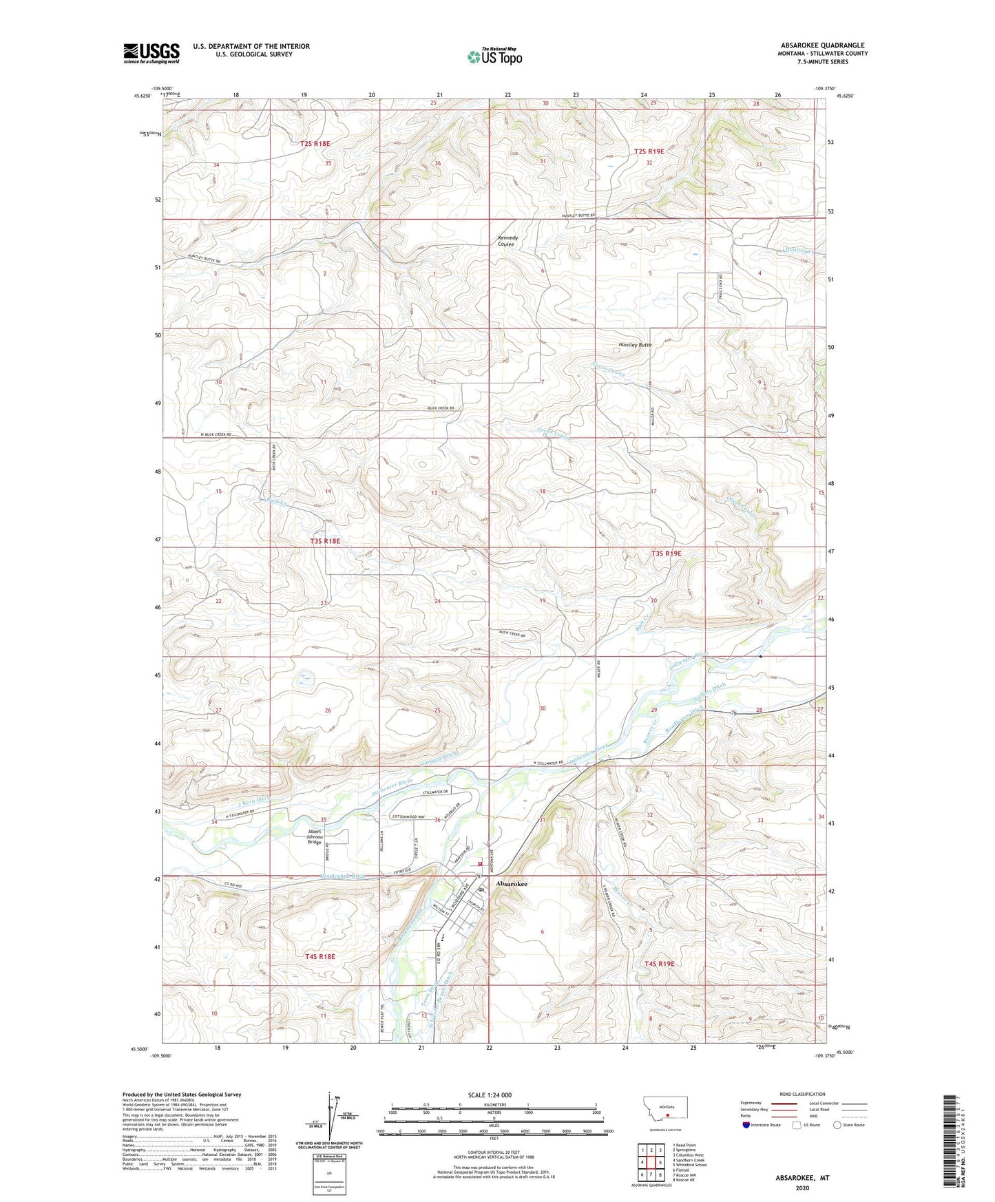
2024 topographic map quadrangle Absarokee in the state of Montana. Scale: 1:24000. Based on the newly updated USGS 7.5' US Topo map series, this map is in the following counties: Stillwater. The map contains contour data, water features, and other items you are used to seeing on USGS maps, but also has updated roads and other features. This is the next generation of topographic maps. Printed on high-quality waterproof paper with UV fade-resistant inks.
Quads adjacent to this one:
West: Sandborn Creek
Northwest: Reed Point
North: Springtime
Northeast: Columbus West
East: Whitebird School
Southeast: Roscoe NE
South: Roscoe NW
Southwest: Fishtail
This map covers the same area as the classic USGS quad with code o45109e4.
Contains the following named places: 03S18E36DCDD01 Well, 03S19E05BBBB01 Well, 03S19E29CCCB01 Well, 03S19E31CADB01 Well, 04S18E01ACCD01 Well, 04S18E03BBAB01 Well, Absaroka Fishing Access Site, Absarokee, Absarokee Census Designated Place, Absarokee Evangelical Church, Absarokee Fire Department, Absarokee Medical Clinic, Absarokee Post Office, Absarokee School, Albert Johnson Bridge, Beaver Creek, Beaver Creek School, Buck Creek, Christ Covenant Church, Community Congregational Church, Garrigus Ditch, Grove Creek, Huntley Butte, Huntley Butte School, Immanual Lutheran Church, J Kern Ditch, Mendenhall Ditch, Mountainview School, Nichols Ditch, Riverside Inn, Roadhouse Ditch, Rosebud, Rosebud Creek, Saint Michaels Catholic Church, The Church of Jesus Christ of Latter Day Saints, Town Ditch