MyTopo
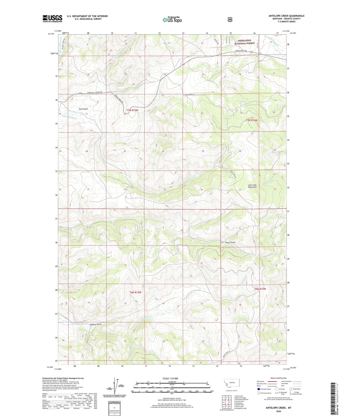
Antelope Creek Montana US Topo Map
Couldn't load pickup availability
Also explore the Antelope Creek Forest Service Topo of this same quad for updated USFS data
2024 topographic map quadrangle Antelope Creek in the state of Montana. Scale: 1:24000. Based on the newly updated USGS 7.5' US Topo map series, this map is in the following counties: Granite. The map contains contour data, water features, and other items you are used to seeing on USGS maps, but also has updated roads and other features. This is the next generation of topographic maps. Printed on high-quality waterproof paper with UV fade-resistant inks.
Quads adjacent to this one:
West: Cornish Gulch
Northwest: Alder Gulch
North: Black Pine Ridge
Northeast: Henderson Mountain
East: Philipsburg
Southeast: Georgetown Lake
South: Potato Lakes
Southwest: Maukey Gulch
This map covers the same area as the classic USGS quad with code o46113c4.
Contains the following named places: Corral, Hawkeye Mine, Lori Number 13 Mine, North Fork Spring Creek, Philipsburg Division, Russian Smith Mine, Shakesphere Mine, South Fork Antelope Creek, South Fork Spring Creek, Trail Gulch, Wildcat Gulch, ZIP Code: 59858