
MyTopo
Bainville SE Montana US Topo Map
Couldn't load pickup availability
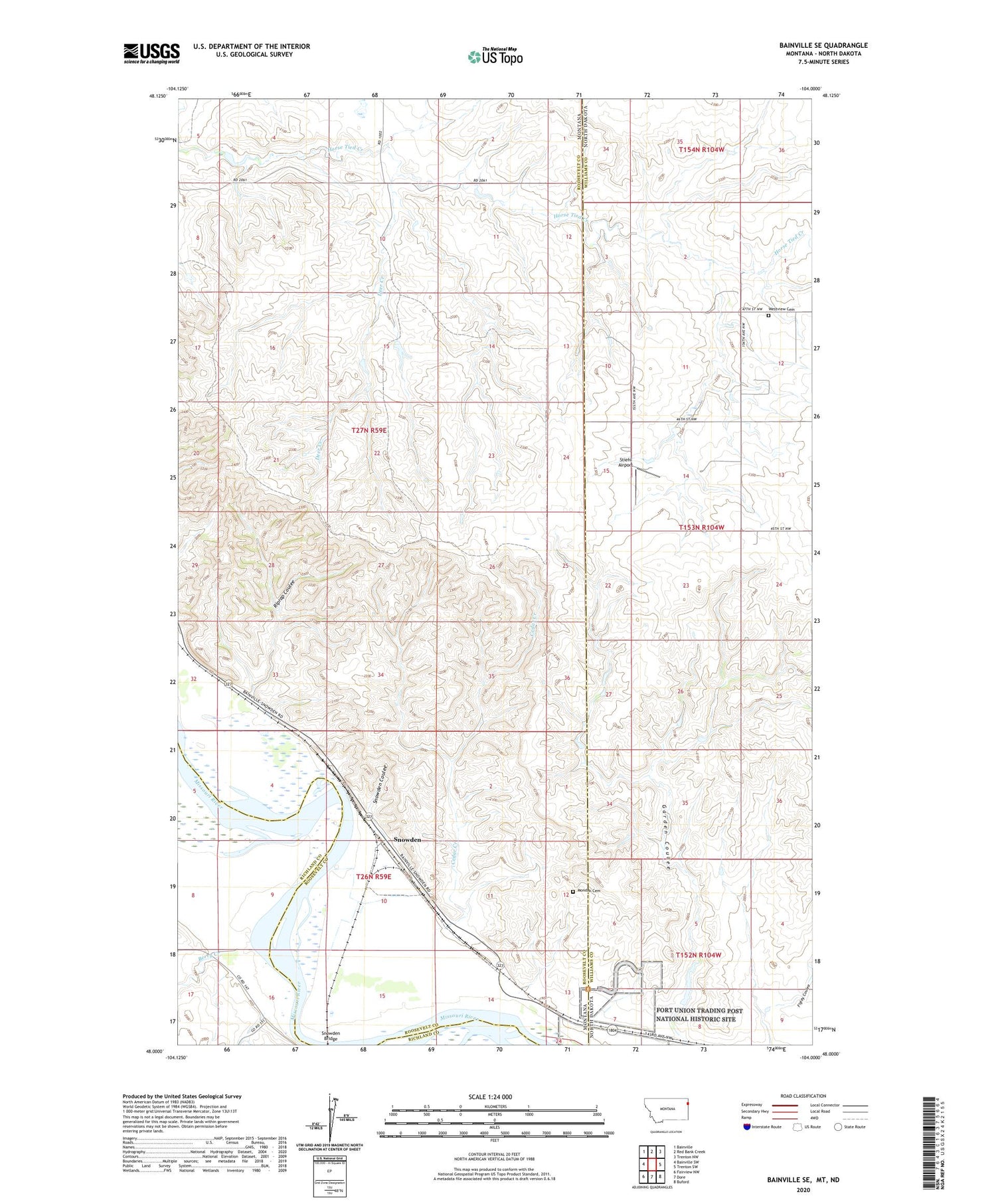
2020 topographic map quadrangle Bainville SE in the states of Montana, North Dakota. Scale: 1:24000. Based on the newly updated USGS 7.5' US Topo map series, this map is in the following counties: Roosevelt, Williams, Richland. The map contains contour data, water features, and other items you are used to seeing on USGS maps, but also has updated roads and other features. This is the next generation of topographic maps. Printed on high-quality waterproof paper with UV fade-resistant inks.
Quads adjacent to this one:
West: Bainville SW
Northwest: Bainville
North: Red Bank Creek
Northeast: Trenton NW
East: Trenton SW
Southeast: Buford
South: Dore
Southwest: Fairview NW
Contains the following named places: 26N59E02CCAD01 Well, 26N59E03AC__01 Well, 26N59E08AC__01 Well, 26N59E08DDCA01 Well, 26N59E09CA__01 Well, 26N59E10BD__01 Well, 26N59E10CA__01 Well, 26N59E10DD__01 Well, 26N59E11BC__01 Well, 26N59E11DB__01 Well, 26N59E15AD__01 Well, 26N59E15BD__01 Well, 26N59E17AA__01 Well, 27N59E03AC__01 Well, 27N59E05AC__01 Well, 27N59E35BA__01 Well, Arden, Berry Creek, Cedar Creek, Deer Creek, Fort Union, Fort Union Post Office, Fort Union School, Fort Union Trading Post National Historic Site, Iranian Dam, Mondak Cemetery, Nordell Dam, Riprap Coulee, Snowden, Snowden Bridge, Snowden Coulee, Stiehl Airport, Westview Cemetery, Willows


