MyTopo
Red Bank Creek Montana US Topo Map
Couldn't load pickup availability
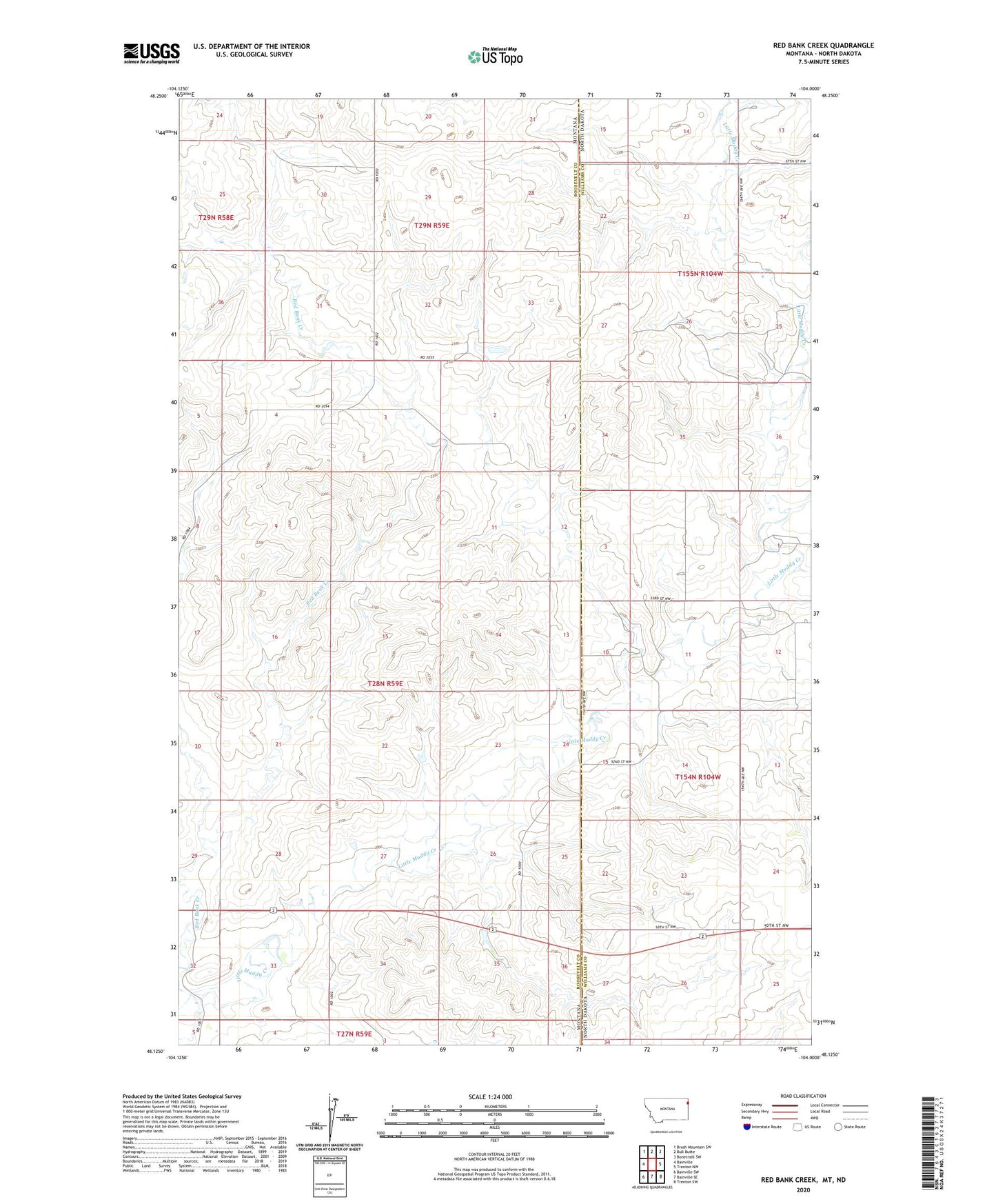
2024 topographic map quadrangle Red Bank Creek in the state of Montana. Scale: 1:24000. Based on the newly updated USGS 7.5' US Topo map series, this map is in the following counties: Roosevelt, Williams. The map contains contour data, water features, and other items you are used to seeing on USGS maps, but also has updated roads and other features. This is the next generation of topographic maps. Printed on high-quality waterproof paper with UV fade-resistant inks.
Quads adjacent to this one:
West: Bainville
Northwest: Brush Mountain SW
North: Bull Butte
Northeast: Bonetraill SW
East: Trenton NW
Southeast: Trenton SW
South: Bainville SE
Southwest: Bainville SW
Contains the following named places: 27N59E04AA__01 Well, 27N59E04AA__02 Well, 27N59E05AA__01 Well, 28N59E02CC__01 Well, 28N59E03DA__01 Well, 28N59E26CD__01 Well, 28N59E27CC__01 Well, 28N59E27CC__02 Well, 28N59E28BB__01 Well, 28N59E28BB__02 Well, 28N59E29DD__01 Well, 28N59E29DD__02 Well, 28N59E34AAAB01 Well, 28N59E35AB__01 Well, 28N59E36BD__01 Well, 29N59E32DDBB01 Well, Bainville Rest Area, Gridley School, LePage School, Red Bank Creek, Shields Fields Dam, Snowden Bridge Historical Marker