MyTopo
Beaver Flats North Montana US Topo Map
Couldn't load pickup availability
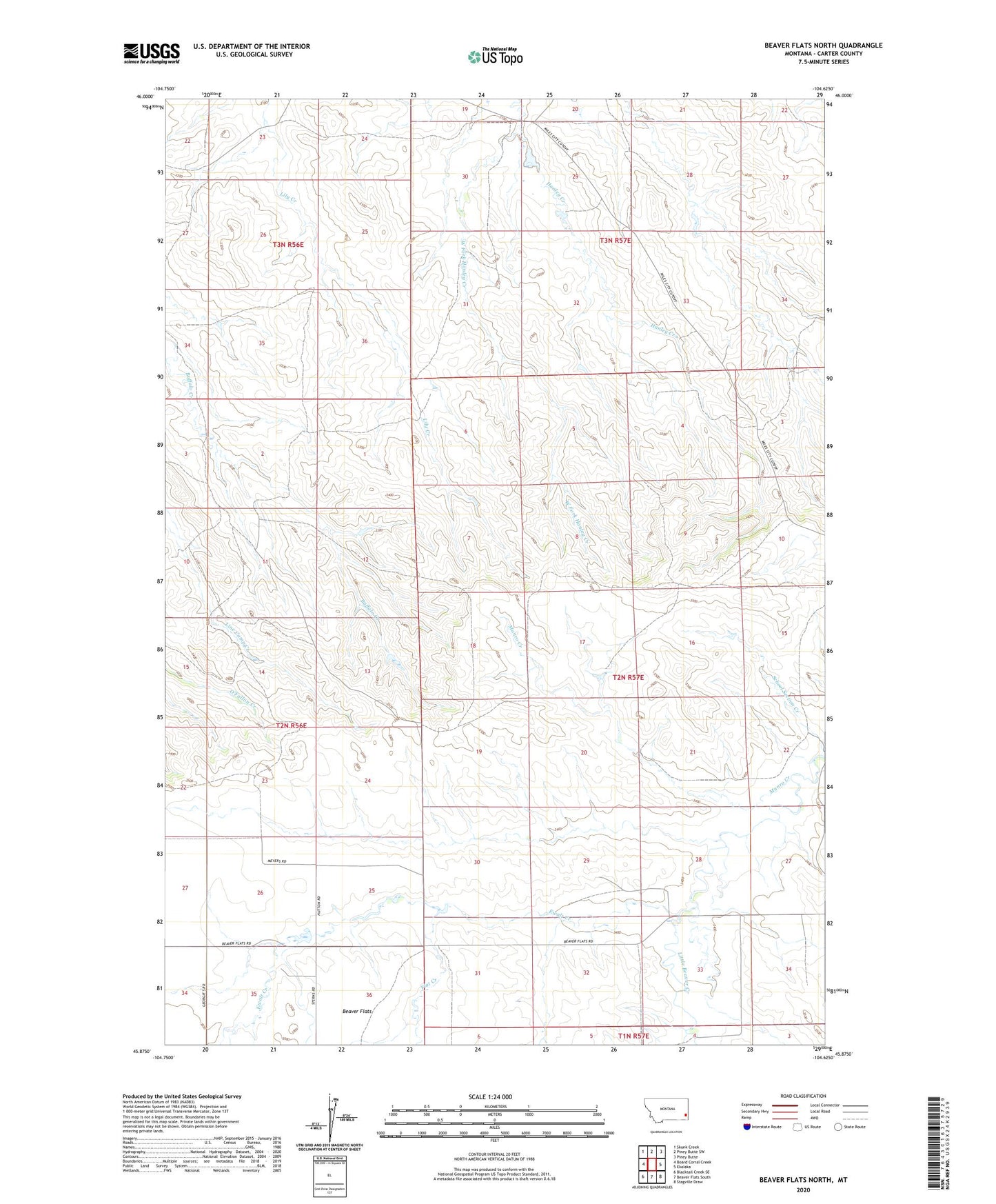
2024 topographic map quadrangle Beaver Flats North in the state of Montana. Scale: 1:24000. Based on the newly updated USGS 7.5' US Topo map series, this map is in the following counties: Carter. The map contains contour data, water features, and other items you are used to seeing on USGS maps, but also has updated roads and other features. This is the next generation of topographic maps. Printed on high-quality waterproof paper with UV fade-resistant inks.
Quads adjacent to this one:
West: Board Corral Creek
Northwest: Skunk Creek
North: Piney Butte SW
Northeast: Piney Butte
East: Ekalaka
Southeast: Stagville Draw
South: Beaver Flats South
Southwest: Blacktail Creek SE
This map covers the same area as the classic USGS quad with code o45104h6.
Contains the following named places: 02N56E11BAC_01 Well, 02N56E15BADC01 Well, 02N56E27DAA_01 Well, 02N57E19BBC_01 Well, 03N56E22AD__01 Well, 03N57E30AAAC01 Well, Ewalt Creek, Flat Creek, Munro Creek, Schofield School, West Fork Hanley Creek