MyTopo
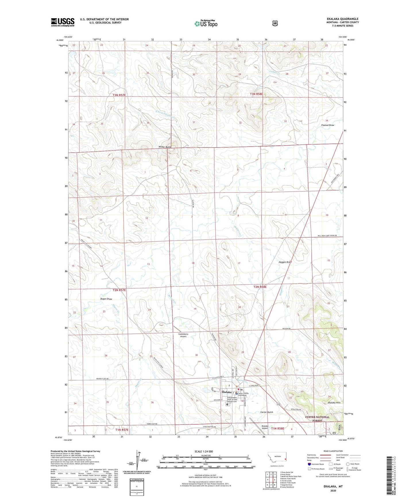
Ekalaka Montana US Topo Map
Couldn't load pickup availability
Also explore the Ekalaka Forest Service Topo of this same quad for updated USFS data
2024 topographic map quadrangle Ekalaka in the state of Montana. Scale: 1:24000. Based on the newly updated USGS 7.5' US Topo map series, this map is in the following counties: Carter. The map contains contour data, water features, and other items you are used to seeing on USGS maps, but also has updated roads and other features. This is the next generation of topographic maps. Printed on high-quality waterproof paper with UV fade-resistant inks.
Quads adjacent to this one:
West: Beaver Flats North
Northwest: Piney Butte SW
North: Piney Butte
Northeast: Medicine Rocks State Park
East: Terrell Creek
Southeast: Camp Needmore
South: Stagville Draw
Southwest: Beaver Flats South
This map covers the same area as the classic USGS quad with code o45104h5.
Contains the following named places: 02N58E06BCDC01 Well, 02N58E09CCCC01 Well, 02N58E19BAAD01 Well, 02N58E20DAA_01 Well, 02N58E20DAD_01 Well, 02N58E29DCC_01 Well, 02N58E32BAD_01 Well, 02N58E32BAD_02 Well, 02N58E32BBA_01 Well, 02N58E32BDB_01 Well, 03N57E25CAAB01 Well, 03N58E29CCBA01 Well, Carter County Courthouse, Carter County Fairgrounds, Carter County High School, Carter County Museum, Carter County Sheriff's Office, Carter Gulch, Castleberry Airport, Church of Christ Congregational, Cline Camper Court, Community Church, Dahl Dental Clinic, Dahl Memorial Health Care, Dahl Memorial Healthcare, Dahl Memorial Hospital, Dahl Memorial Nursing Home, Dugan Creek, Dugan Draw, Ekalaka, Ekalaka Airport, Ekalaka City Park, Ekalaka Elementary School, Ekalaka Gospel Tabernacle, Ekalaka Historical Marker, Ekalaka Police Department, Ekalaka Post Office, Ekalaka Public Library, Ekalaka Volunteer Fire Department, First Baptist Church, Flasted Draw, Heggen Creek, Heggen Draw, Independent Order of Odd Fellows Cemetery, McCoy Earl Dam, Perso Park, Russell Creek, Saint Joan of Arc Church, School Section Creek, Town of Ekalaka, Trinity Evangelical Lutheran Church, Wilder Butte


