MyTopo
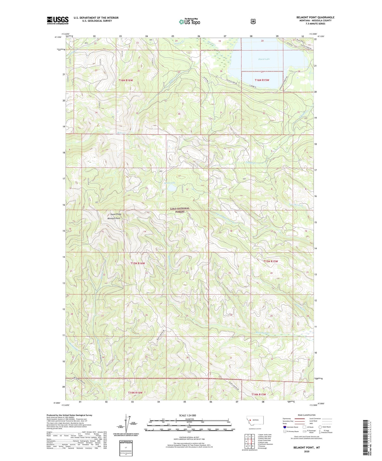
Belmont Point Montana US Topo Map
Couldn't load pickup availability
Also explore the Belmont Point Forest Service Topo of this same quad for updated USFS data
2024 topographic map quadrangle Belmont Point in the state of Montana. Scale: 1:24000. Based on the newly updated USGS 7.5' US Topo map series, this map is in the following counties: Missoula. The map contains contour data, water features, and other items you are used to seeing on USGS maps, but also has updated roads and other features. This is the next generation of topographic maps. Printed on high-quality waterproof paper with UV fade-resistant inks.
Quads adjacent to this one:
West: Gold Creek Peak
Northwest: Upper Jocko Lake
North: Seeley Lake West
Northeast: Seeley Lake East
East: Salmon Lake
Southeast: Greenough
South: Potomac
Southwest: Sunflower Mountain
This map covers the same area as the classic USGS quad with code o47113a5.
Contains the following named places: 16N15W28BCDB01 Well, 16N15W30DACB01 Well, 16N15W30DBDA01 Well, Belmont Point, Boles Creek, Burnt Creek, Game Ridge, Placid Creek, Placid Lake, Placid Lake Recreation Site, Spook Lake, Vaughn Creek