MyTopo
Big Sheep Mountain NW Montana US Topo Map
Couldn't load pickup availability
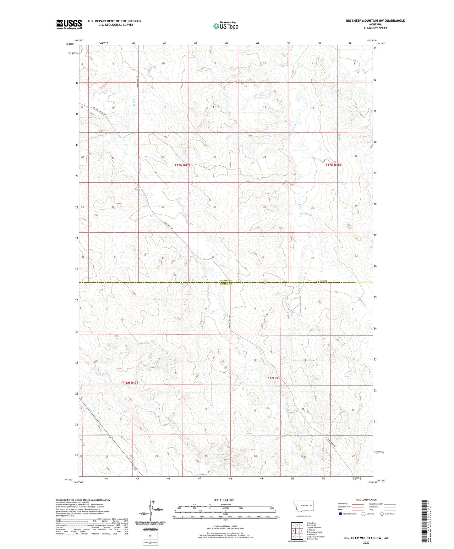
2024 topographic map quadrangle Big Sheep Mountain NW in the state of Montana. Scale: 1:24000. Based on the newly updated USGS 7.5' US Topo map series, this map is in the following counties: McCone, Prairie. The map contains contour data, water features, and other items you are used to seeing on USGS maps, but also has updated roads and other features. This is the next generation of topographic maps. Printed on high-quality waterproof paper with UV fade-resistant inks.
Quads adjacent to this one:
West: Watkins
Northwest: Brockway
North: Circle SW
Northeast: Quick Reservoir
East: Bearshack Creek
Southeast: Becker Dam
South: Big Sheep Mountain
Southwest: Watkins SE
This map covers the same area as the classic USGS quad with code o47105b6.
Contains the following named places: 16N48E09ACC_01 Well, 16N48E17ACC_01 Well, 17N47E16DDDD01 Well, 17N48E29BDCB01 Well, Dockstader School, Tusler Creek Oyargers and Pardies Dam