MyTopo
Watkins SE Montana US Topo Map
Couldn't load pickup availability
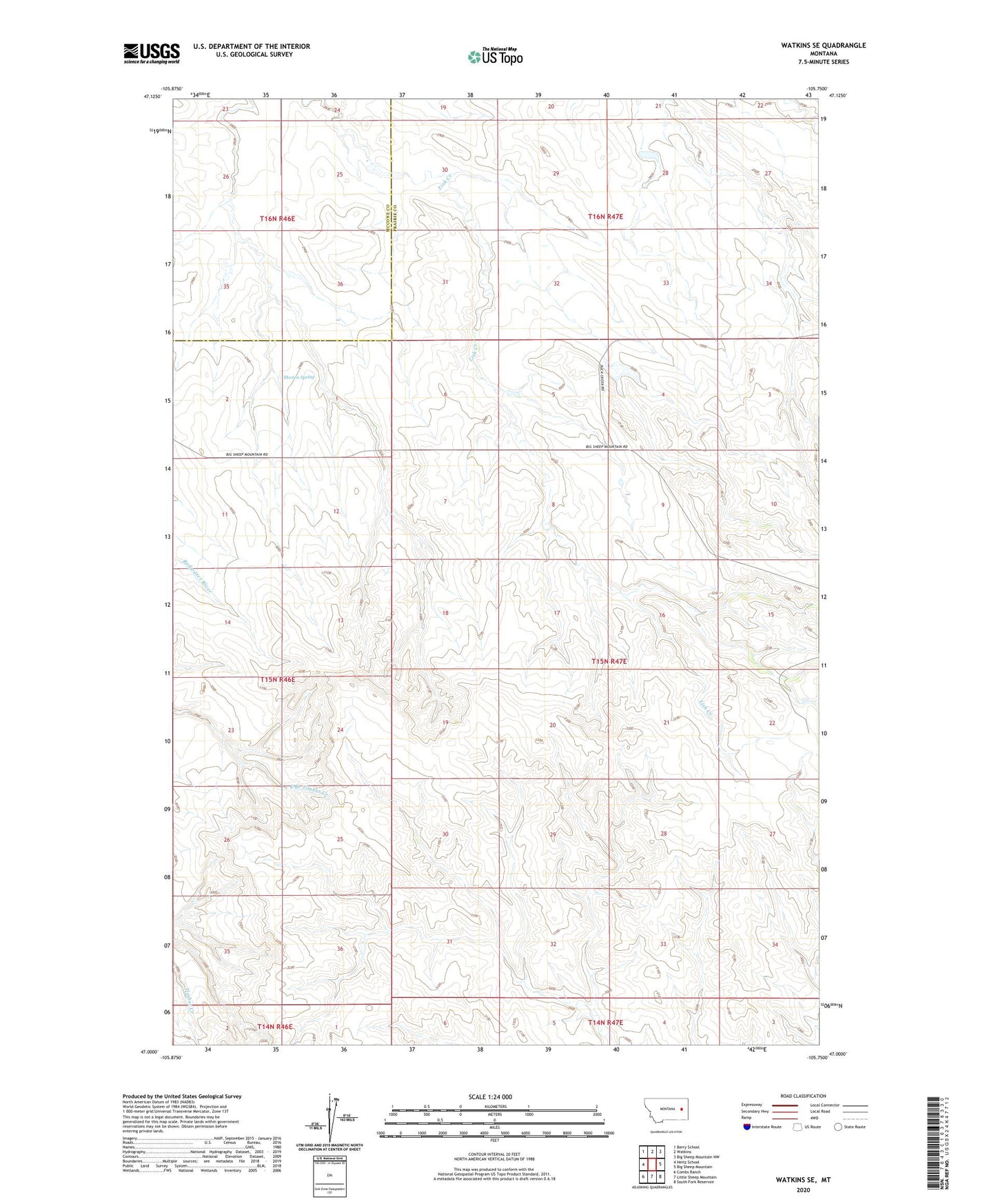
2024 topographic map quadrangle Watkins SE in the state of Montana. Scale: 1:24000. Based on the newly updated USGS 7.5' US Topo map series, this map is in the following counties: Prairie, McCone. The map contains contour data, water features, and other items you are used to seeing on USGS maps, but also has updated roads and other features. This is the next generation of topographic maps. Printed on high-quality waterproof paper with UV fade-resistant inks.
Quads adjacent to this one:
West: Heitz School
Northwest: Berry School
North: Watkins
Northeast: Big Sheep Mountain NW
East: Big Sheep Mountain
Southeast: South Fork Reservoir
South: Little Sheep Mountain
Southwest: Combs Ranch
This map covers the same area as the classic USGS quad with code o47105a7.
Contains the following named places: 15N46E11BBCA01 Well, 15N46E23CADB01 Well, 15N46E24AD__01 Well, 15N47E05ADCD01 Well, 15N47E05CB__01 Well, 15N47E06DABC01 Well, 15N47E19DACB01 Well, 15N47E22DDBA01 Well, 15N47E22DDBA02 Well, 16N46E26DBBA01 Well, 16N46E35BDDC01 Well, 16N47E33CAAC01 Well, Big Sheep Mountain School, Duck Dam, Edna Post Office, For Sale Dam, Morton Spring, Mountain View School, Sheep Mountain Dam, Sheep Mountain Drop Dam, Wackle Dam