MyTopo
Black Point Montana US Topo Map
Couldn't load pickup availability
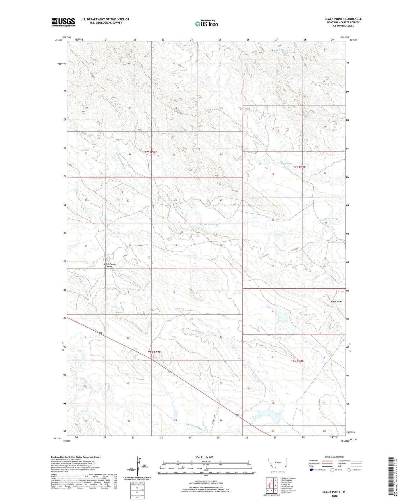
2024 topographic map quadrangle Black Point in the state of Montana. Scale: 1:24000. Based on the newly updated USGS 7.5' US Topo map series, this map is in the following counties: Carter. The map contains contour data, water features, and other items you are used to seeing on USGS maps, but also has updated roads and other features. This is the next generation of topographic maps. Printed on high-quality waterproof paper with UV fade-resistant inks.
Quads adjacent to this one:
West: Greasy Hill
Northwest: Phillippi Reservoir
North: Tip Top Butte
Northeast: Potato Buttes
East: Black Point NE
Southeast: Gomer Draw
South: Cochran Reservoir
Southwest: Hammond SE
This map covers the same area as the classic USGS quad with code o45104b6.
Contains the following named places: 07S58E20CAA_01 Well, 08S57E24CABC01 Well, Black Point, Cockran Grazing Number 5 Dam, Fruit Dam, Hadigan Creek, Nuhn Number 2 Dam, Nuhn Ranch, Peters Ranch