MyTopo
Blue Hill Montana US Topo Map
Couldn't load pickup availability
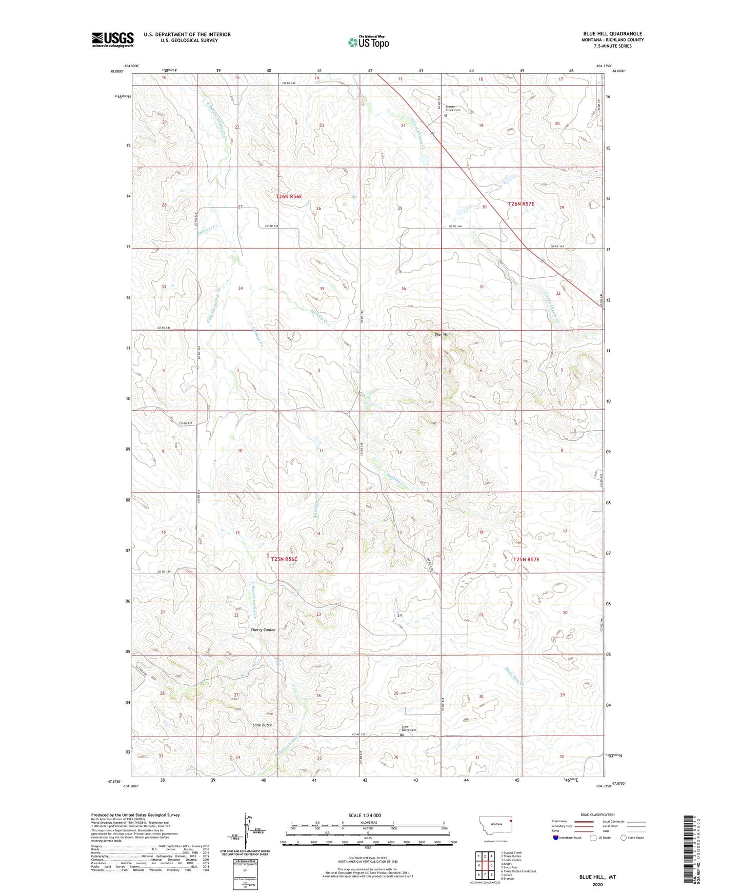
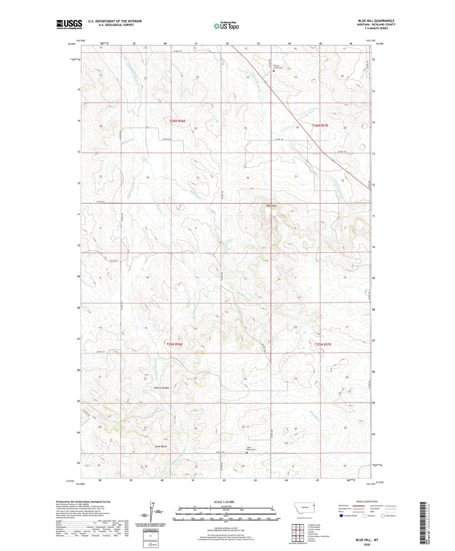
2020 topographic map quadrangle Blue Hill in the state of Montana. Scale: 1:24000. Based on the newly updated USGS 7.5' US Topo map series, this map is in the following counties: Richland. The map contains contour data, water features, and other items you are used to seeing on USGS maps, but also has updated roads and other features. This is the next generation of topographic maps. Printed on high-quality waterproof paper with UV fade-resistant inks.
Quads adjacent to this one:
West: Andes
Northwest: Dugout Creek
North: Three Buttes
Northeast: Cedar Coulee
East: Sioux Pass
Southeast: Brorson
South: Girard
Southwest: Three Buttes Creek East
Contains the following named places: 25N56E11BAAB01 Well, 25N57E08AAC_01 Well, 25N57E29AAAD01 Well, 26N56E24DACA01 Well, Antelope Creek, Arthur Dam, Blue Hill, Buckley Creek, Buckley Dam, Cherry Coulee, Cherry Creek Cemetery, Cherry Creek Church, Cherry Creek School, Doran School, Glendenning School, Lone Butte, Lone Butte Cemetery, Nile Post Office, Palmers Creek, T Hackley Number 1 Dam, Wick Landing Strip