MyTopo
Andes Montana US Topo Map
Couldn't load pickup availability
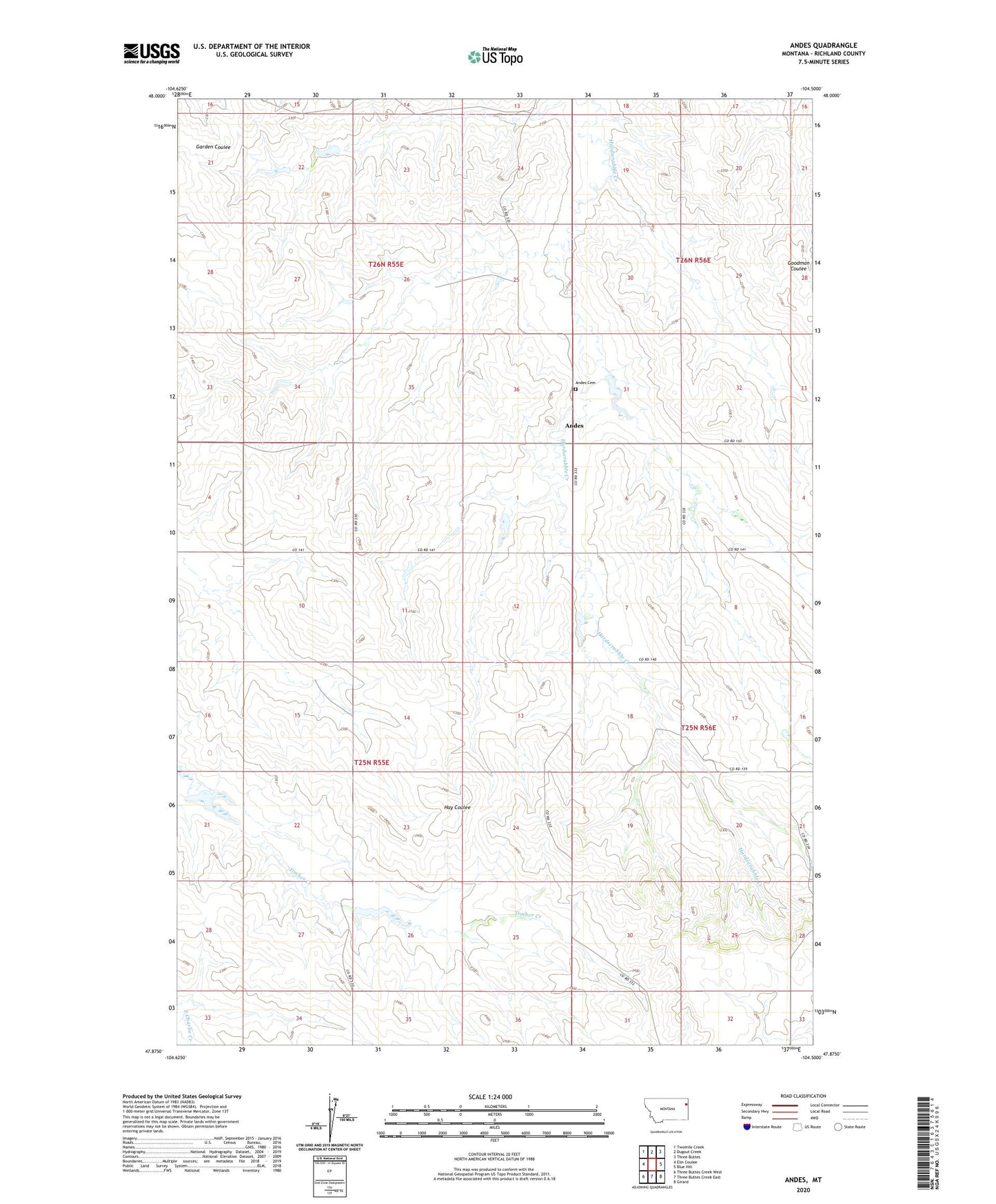
2024 topographic map quadrangle Andes in the state of Montana. Scale: 1:24000. Based on the newly updated USGS 7.5' US Topo map series, this map is in the following counties: Richland. The map contains contour data, water features, and other items you are used to seeing on USGS maps, but also has updated roads and other features. This is the next generation of topographic maps. Printed on high-quality waterproof paper with UV fade-resistant inks.
Quads adjacent to this one:
West: Elm Coulee
Northwest: Twomile Creek
North: Dugout Creek
Northeast: Three Buttes
East: Blue Hill
Southeast: Girard
South: Three Buttes Creek East
Southwest: Three Buttes Creek West
This map covers the same area as the classic USGS quad with code o47104h5.
Contains the following named places: 14N57E09ABBC01 Well, 25N55E03BD__01 Well, 25N55E09BAAA01 Well, 25N56E08BDDB01 Well, 26N55E26DBAA01 Well, 26N56E20C___01 Well, Andes, Andes Cemetery, Andes Post Office, Andes School, C Stoppler Number 1 Dam, Fairview Division, Frog Dam, Peer Number 2 Dam, Reorganized Church of Jesus Christ of the Latter Day Saints