MyTopo
Three Buttes Creek East Montana US Topo Map
Couldn't load pickup availability
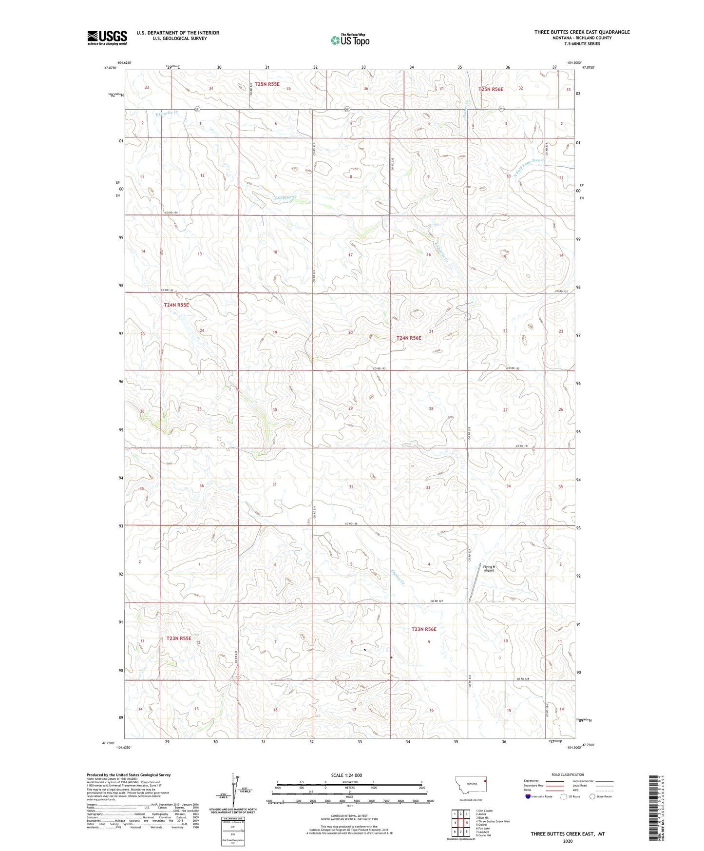
2024 topographic map quadrangle Three Buttes Creek East in the state of Montana. Scale: 1:24000. Based on the newly updated USGS 7.5' US Topo map series, this map is in the following counties: Richland. The map contains contour data, water features, and other items you are used to seeing on USGS maps, but also has updated roads and other features. This is the next generation of topographic maps. Printed on high-quality waterproof paper with UV fade-resistant inks.
Quads adjacent to this one:
West: Three Buttes Creek West
Northwest: Elm Coulee
North: Andes
Northeast: Blue Hill
East: Girard
Southeast: Crane NW
South: Lambert
Southwest: Fox Lake
This map covers the same area as the classic USGS quad with code o47104g5.
Contains the following named places: 23N56E09BAA_01 Well, 23N56E15BD__01 Well, 24N56E19AB__01 Well, 24N58E29BCA_01 Well, Flying H Airport, Larson School, Poleville School, Richland County, Three Buttes Post Office