
MyTopo
Boulder West Montana US Topo Map
Couldn't load pickup availability
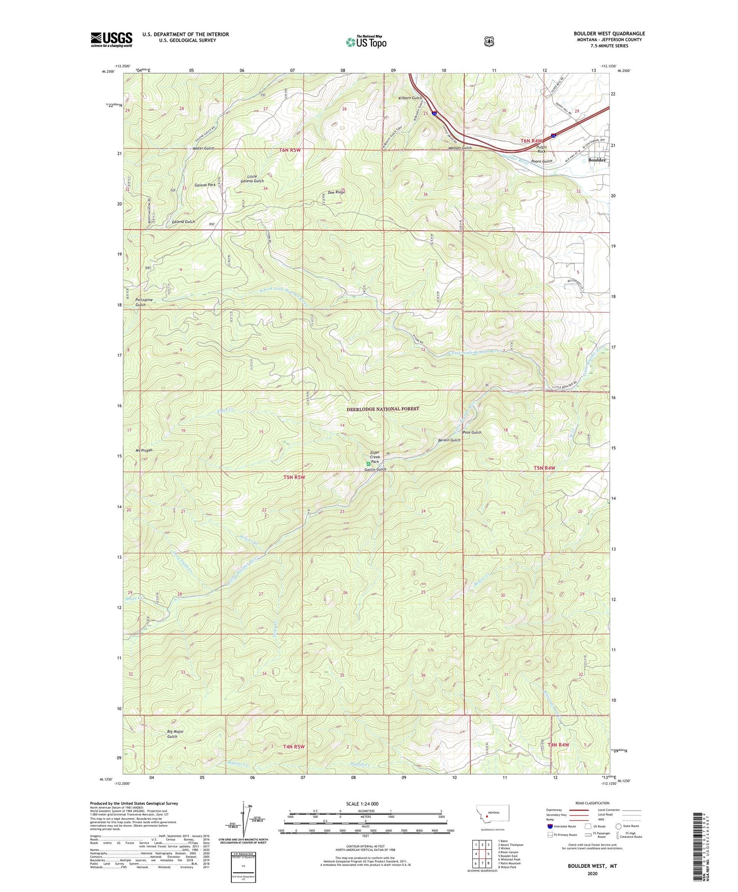
2020 topographic map quadrangle Boulder West in the state of Montana. Scale: 1:24000. Based on the newly updated USGS 7.5' US Topo map series, this map is in the following counties: Jefferson. The map contains contour data, water features, and other items you are used to seeing on USGS maps, but also has updated roads and other features. This is the next generation of topographic maps. Printed on high-quality waterproof paper with UV fade-resistant inks.
Quads adjacent to this one:
West: Bison Canyon
Northwest: Basin
North: Mount Thompson
Northeast: Wickes
East: Boulder East
Southeast: Wilson Park
South: Ratio Mountain
Southwest: Whitetail Peak
Contains the following named places: Berkin Gulch, Big Major Mine, Boulder View Mine, Boulder Work Center, Buck Horn Mine, Buffalo Creek, Crowley Dam, Crowley Mine, Doe Ridge, Elder Creek, Elder Creek Park, Elder Creek Picnic Area, First Assembly of God Church, Free Enterprise Health Mine and Campground, Galena Park, Gatlin Gulch, Hyndman, Jerry Smith Creek, Kilborn Gulch, May Day Mine, Menzemer, Montana Developmental Center, Moose Creek, Mountain Valley Trailer Court, North Fork Little Boulder River, Pole Gulch, Poore Gulch, Porcupine Gulch, Pulpit Rock, Sauls Claim, Saul's Claim Mine, Springtime Mine, SW SW Section 8 Mine, Tesky Creek, The Church of Jesus Christ of Latter Day Saints, Victory Mine, Water Gulch, Watson Gulch, West Creek, Wilson Creek


