
MyTopo
Carda Coulee Montana US Topo Map
Couldn't load pickup availability
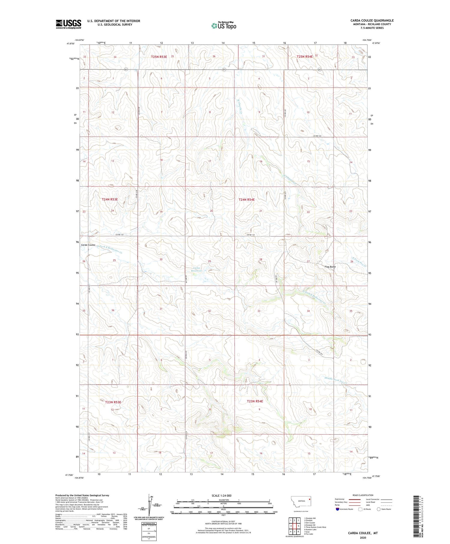
2020 topographic map quadrangle Carda Coulee in the state of Montana. Scale: 1:24000. Based on the newly updated USGS 7.5' US Topo map series, this map is in the following counties: Richland. The map contains contour data, water features, and other items you are used to seeing on USGS maps, but also has updated roads and other features. This is the next generation of topographic maps. Printed on high-quality waterproof paper with UV fade-resistant inks.
Quads adjacent to this one:
West: Elmdale SW
Northwest: Elmdale NW
North: Elmdale
Northeast: Elm Coulee
East: Three Buttes Creek West
Southeast: Fox Lake
South: Enid
Southwest: Kuester Lake
Contains the following named places: 23N53E01ABAA01 Well, 23N54E07ABAB01 Well, 23N54E08ACDB01 Well, 23N54E18ADBC01 Well, 23N54E18ADDA01 Well, 23N54E18CADC01 Well, 24N53E01DACD01 Well, 24N53E01DACD02 Well, 24N53E03CBCB01 Well, 24N53E12ABBC01 Well, 24N53E13BCCC01 Well, 24N53E24DDCB01 Well, 24N53E24DDCB02 Well, 24N53E25BCBB01 Well, 24N53E25DADD01 Well, 24N54E08BAAA01 Well, 24N54E09CDDD01 Well, 24N54E16CCCD01 Well, 24N54E19DAAB01 Well, 24N54E20BCDD01 Well, 24N54E21DB__01 Well, 24N54E21DBDC01 Well, 24N54E21DBDD01 Well, 24N54E29CACB01 Well, 24N54E30CBCA01 Well, 24N54E30DCBC01 Well, Carda Coulee, Flag Butte, Latka Dam, Latka Number 5 Dam, Latka Reservoir, Rosaaen School


