MyTopo
Kuester Lake Montana US Topo Map
Couldn't load pickup availability
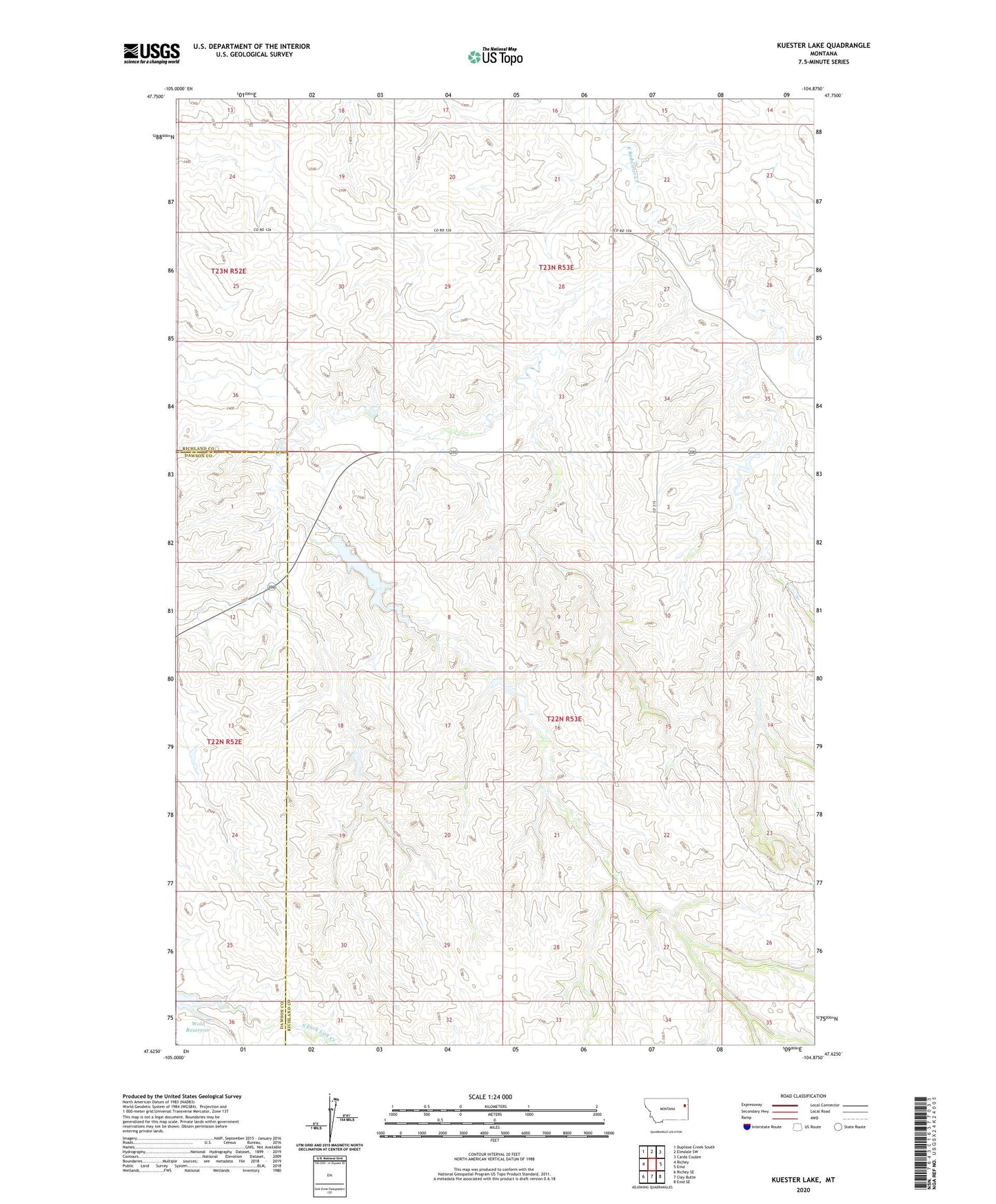
2024 topographic map quadrangle Kuester Lake in the state of Montana. Scale: 1:24000. Based on the newly updated USGS 7.5' US Topo map series, this map is in the following counties: Richland, Dawson. The map contains contour data, water features, and other items you are used to seeing on USGS maps, but also has updated roads and other features. This is the next generation of topographic maps. Printed on high-quality waterproof paper with UV fade-resistant inks.
Quads adjacent to this one:
West: Richey
Northwest: Duplisse Creek South
North: Elmdale SW
Northeast: Carda Coulee
East: Enid
Southeast: Enid SE
South: Clay Butte
Southwest: Richey SE
This map covers the same area as the classic USGS quad with code o47104f8.
Contains the following named places: 22N52E01BDBD01 Well, 22N52E24DADD01 Well, 22N52E25CBCA01 Well, 22N53E05CDAA01 Well, 22N53E10ABBD01 Well, 22N53E16ACCC01 Well, 22N53E18BCAB01 Well, 22N53E22BDCB01 Well, 22N53E23ABBD01 Well, 22N53E26BAAA01 Well, 22N53E29BDBD01 Well, 22N53E30ABBB01 Well, 23N52E24BCBB01 Well, 23N53E26CAAC01 Well, 23N53E27BBDA01 Well, 23N53E27BBDB01 Well, 23N53E28BABB01 Well, 23N53E30DCAA01 Well, 23N53E31ABCA01 Well, 23N53E32CCBD01 Well, Bank Dam, Clem Dam, J Deckert Number 1 Dam, Kuester Dam, Kuester Lake, Kuester Reservoir Fishing Access Site, Manrock, Wold Reservoir, Yodeling Valley Dam