MyTopo
Enid Montana US Topo Map
Couldn't load pickup availability
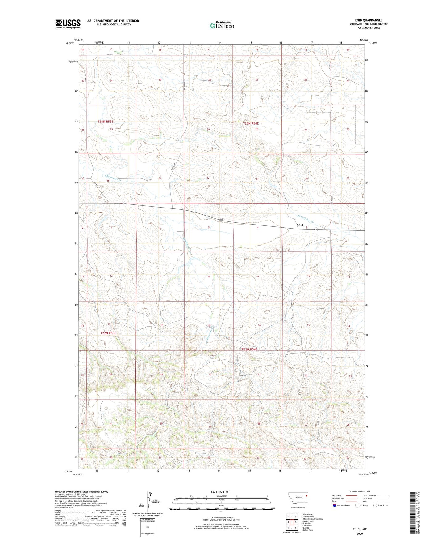
2024 topographic map quadrangle Enid in the state of Montana. Scale: 1:24000. Based on the newly updated USGS 7.5' US Topo map series, this map is in the following counties: Richland. The map contains contour data, water features, and other items you are used to seeing on USGS maps, but also has updated roads and other features. This is the next generation of topographic maps. Printed on high-quality waterproof paper with UV fade-resistant inks.
Quads adjacent to this one:
West: Kuester Lake
Northwest: Elmdale SW
North: Carda Coulee
Northeast: Three Buttes Creek West
East: Fox Lake
Southeast: Butler Table
South: Enid SE
Southwest: Clay Butte
This map covers the same area as the classic USGS quad with code o47104f7.
Contains the following named places: 22N54E06DABD01 Well, 22N54E10CCCA01 Well, 22N54E18ACBC01 Well, 22N54E21CBBD01 Well, 22N54E22BBCB01 Well, 22N54E32BAAC01 Well, 23N53E13DDCC01 Well, 23N54E18CDBD01 Well, 23N54E19BACD01 Well, 23N54E32CABB01 Well, Allan Dam, Enid, Enid Post Office, Enid School, Farmers Equity Elevator, Gus Dam, Holiness Methodist Church, International Elevator, Kemmis Post Office, Lane, Lane Post Office, Occident Elevator, Salsbury Dam, West Fork Fox Creek