MyTopo
Cleiv Montana US Topo Map
Couldn't load pickup availability
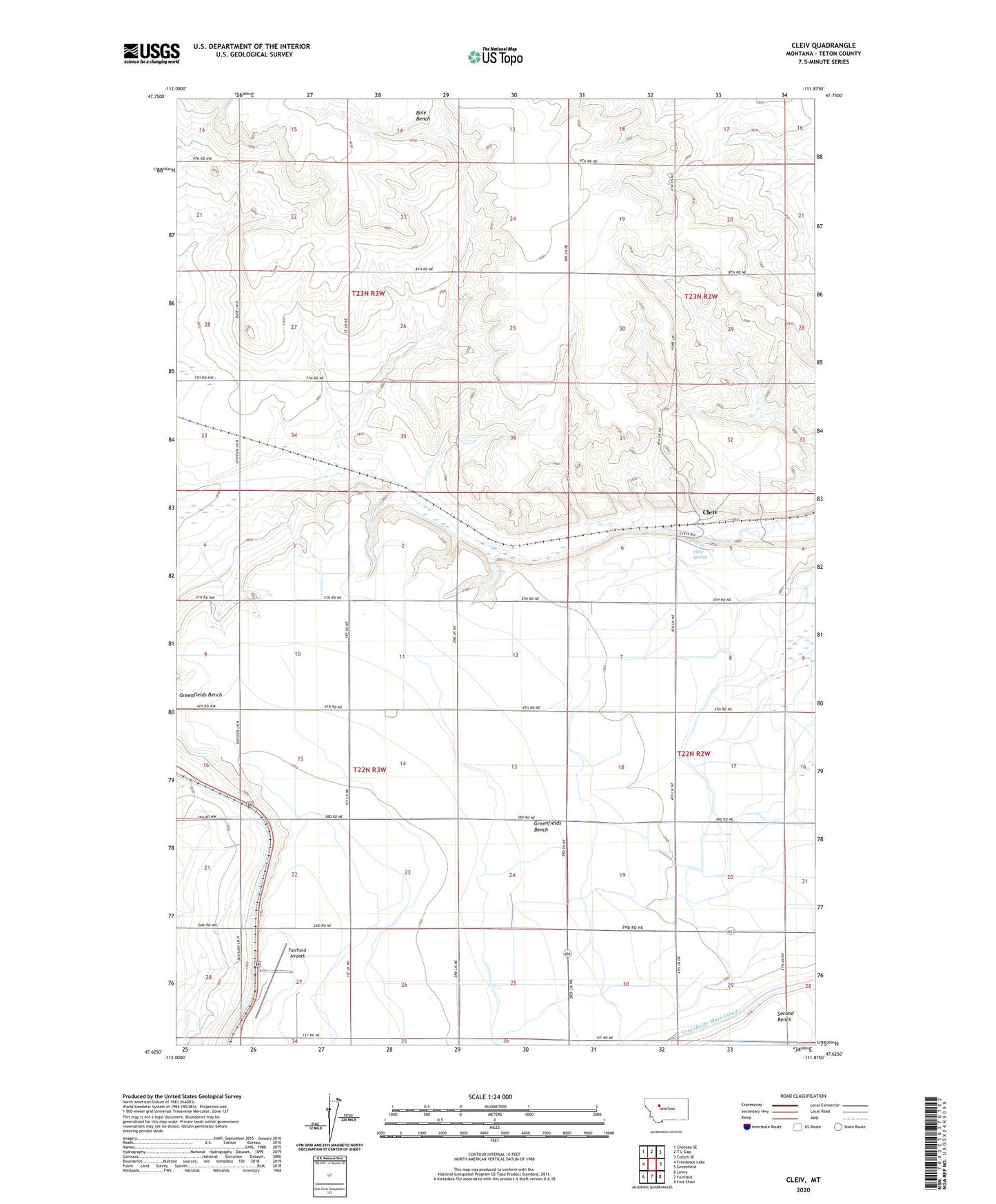
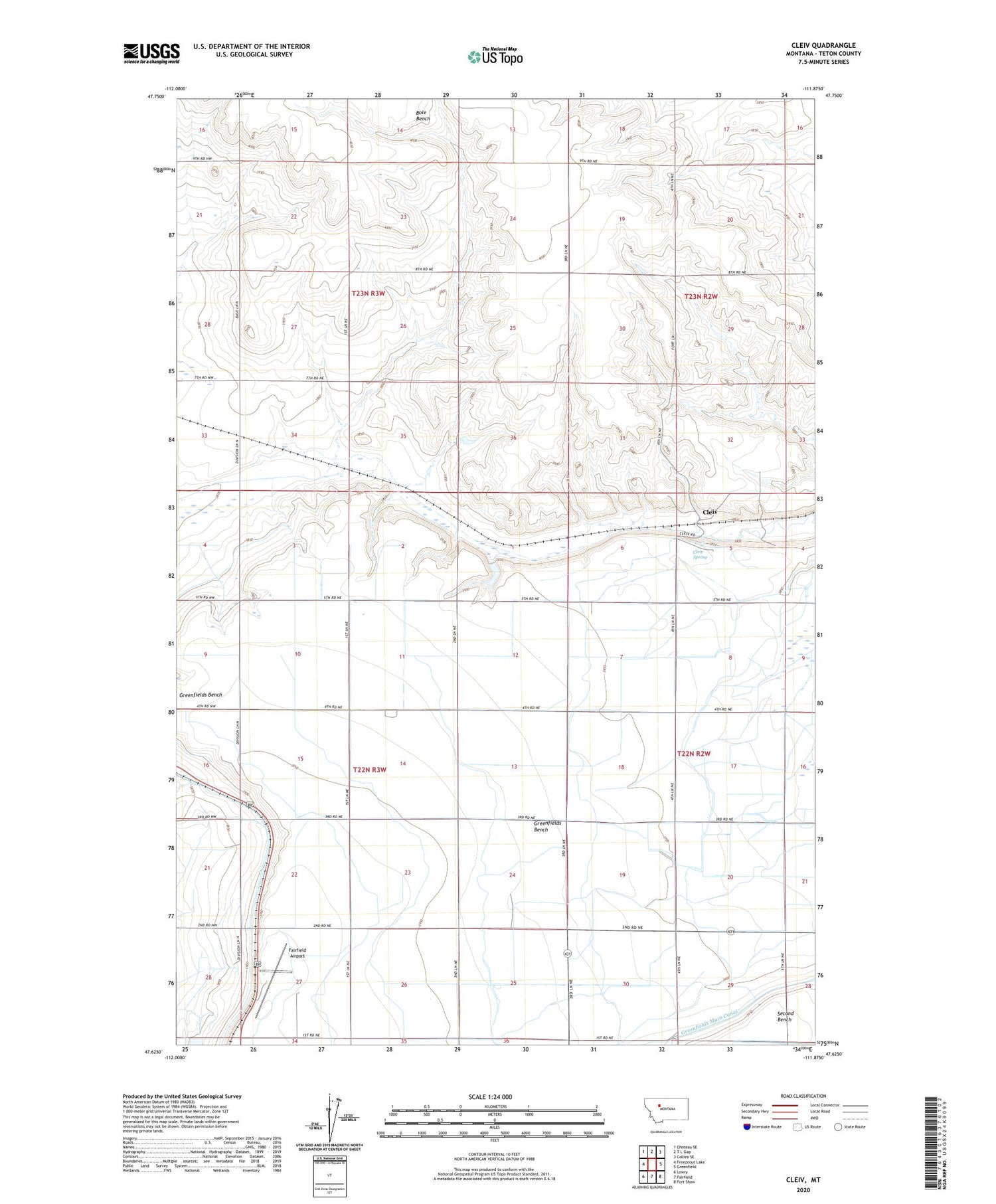
2020 topographic map quadrangle Cleiv in the state of Montana. Scale: 1:24000. Based on the newly updated USGS 7.5' US Topo map series, this map is in the following counties: Teton. The map contains contour data, water features, and other items you are used to seeing on USGS maps, but also has updated roads and other features. This is the next generation of topographic maps. Printed on high-quality waterproof paper with UV fade-resistant inks.
Quads adjacent to this one:
West: Freezeout Lake
Northwest: Choteau SE
North: T L Gap
Northeast: Collins SE
East: Greenfield
Southeast: Fort Shaw
South: Fairfield
Southwest: Lowry
Contains the following named places: 22N02W30B___01 Well, 22N03W02CCCC01 Well, 22N03W03BCDC01 Well, 22N03W09ADAA01 Well, 22N03W09DDDD01 Well, 22N03W10BBAA01 Well, 22N03W10BBAD01 Well, 22N03W10BBAD02 Well, 22N03W10BBAD03 Well, 22N03W10BBAD04 Well, 22N03W10CDDD01 Well, 22N03W11AAA_01 Well, 22N03W11ADDC01 Well, 22N03W11CCCC01 Well, 22N03W14ABBB01 Well, 22N03W15ADAD01 Well, 22N03W15BAAA01 Well, 22N03W15BAAD01 Well, 22N03W15BAAD02 Well, 22N03W15BAAD03 Well, 22N03W15BAAD04 Well, 22N03W21DDDA01 Well, 22N03W22ADAC01 Well, 22N03W22BDAD01 Well, 22N03W22CDDD01 Well, 22N03W22DDDD01 Well, 22N03W23ABBB01 Well, 22N03W23BACA01 Well, 22N03W27AAAA01 Well, 22N03W27AADA01 Well, 22N03W27ABAA01 Well, 22N03W27DBBC01 Well, 22N03W28AAAA01 Well, 22N03W28AAAA02 Well, 22N03W28AAAA03 Well, 22N03W28ABBB01 Well, 22N03W28ABBB02 Well, 22N03W28ABBB03 Well, 22N03W33AAAB01 Well, 22N03W34BBBB01 Well, 22N03W34BBBB02 Well, Bole Bench, Cleiv, Cleiv Post Office, Cleiv Spring, Fairfield Airport, Greenfields Bench, Half-Pint Dam, Manual Oakley Group Dam, Saint Paul Church