MyTopo
Fort Shaw Montana US Topo Map
Couldn't load pickup availability
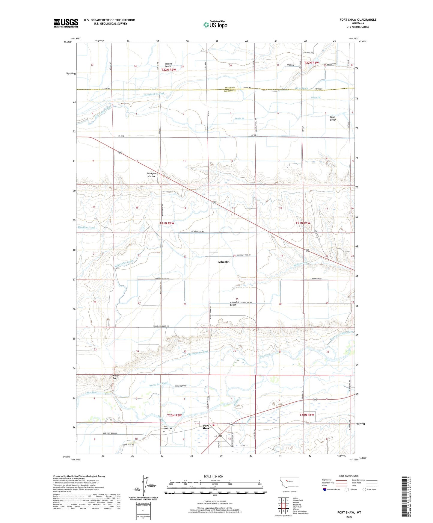
2024 topographic map quadrangle Fort Shaw in the state of Montana. Scale: 1:24000. Based on the newly updated USGS 7.5' US Topo map series, this map is in the following counties: Cascade, Teton. The map contains contour data, water features, and other items you are used to seeing on USGS maps, but also has updated roads and other features. This is the next generation of topographic maps. Printed on high-quality waterproof paper with UV fade-resistant inks.
Quads adjacent to this one:
West: Fairfield
Northwest: Cleiv
North: Greenfield
Northeast: Power
East: Sun River
Southeast: Fair Haven Colony
South: Cascade Colony
Southwest: Simms
This map covers the same area as the classic USGS quad with code o47111e7.
Contains the following named places: 21N01W06DCC_01 Well, 21N01W30C___01 Well, 21N01W30CBA_01 Well, 21N01W30D___01 Well, 21N01W31A___01 Well, 59443, Adobe Creek, Ashuelot, Ashuelot Bench, Birchmeade Canal, Blackfoot Coulee School, Bullard School, Canal K, Congregational Bible Church, Crowe School, Fink School, First Bench, Fort Shaw, Fort Shaw Cemetery, Fort Shaw Elementary School, Fort Shaw Fishing Access Site, Fort Shaw Historical Marker, Fort Shaw Post Office, Fort Shaw Rural Volunteer Fire Department, Fort Shaw Soldiers Cemetery, GS 51 Ditch, Madden School, Mill Coulee Canal, Moving Along Dam, Rocky Reef, Rocky Reef Canal, Saint Anns Catholic Church, The Church of Jesus Christ of Latter Day Saints