MyTopo
Coalridge Montana US Topo Map
Couldn't load pickup availability
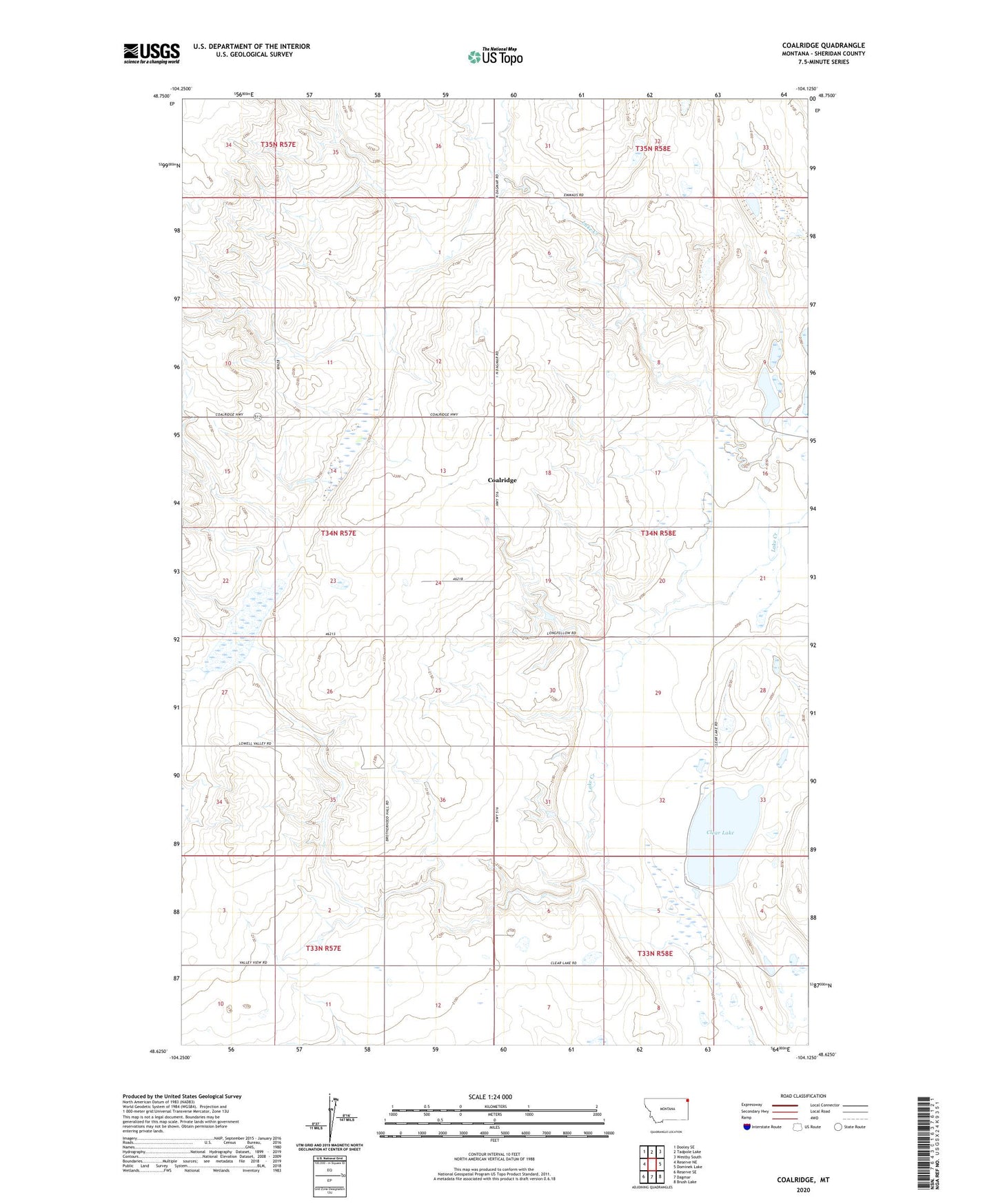
2020 topographic map quadrangle Coalridge in the state of Montana. Scale: 1:24000. Based on the newly updated USGS 7.5' US Topo map series, this map is in the following counties: Sheridan. The map contains contour data, water features, and other items you are used to seeing on USGS maps, but also has updated roads and other features. This is the next generation of topographic maps. Printed on high-quality waterproof paper with UV fade-resistant inks.
Quads adjacent to this one:
West: Reserve NE
Northwest: Dooley SE
North: Tadpole Lake
Northeast: Westby South
East: Dominek Lake
Southeast: Brush Lake
South: Dagmar
Southwest: Reserve SE
Contains the following named places: 33N58E05ACAA01 Well, 33N58E06CBDC01 Well, 34N58E06CCCB01 Well, 34N58E18BCBB01 Well, 34N58E20DAAA01 Well, 34N58E21DCCD01 Well, 34N58E29CDBA01 Well, 34N58E29DCBA01 Well, Clear Lake, Coalridge, Coalridge Assembly of God Church, Coalridge Mennonite Church, Coalridge Post Office, Coalridge School, Longfellow School