MyTopo
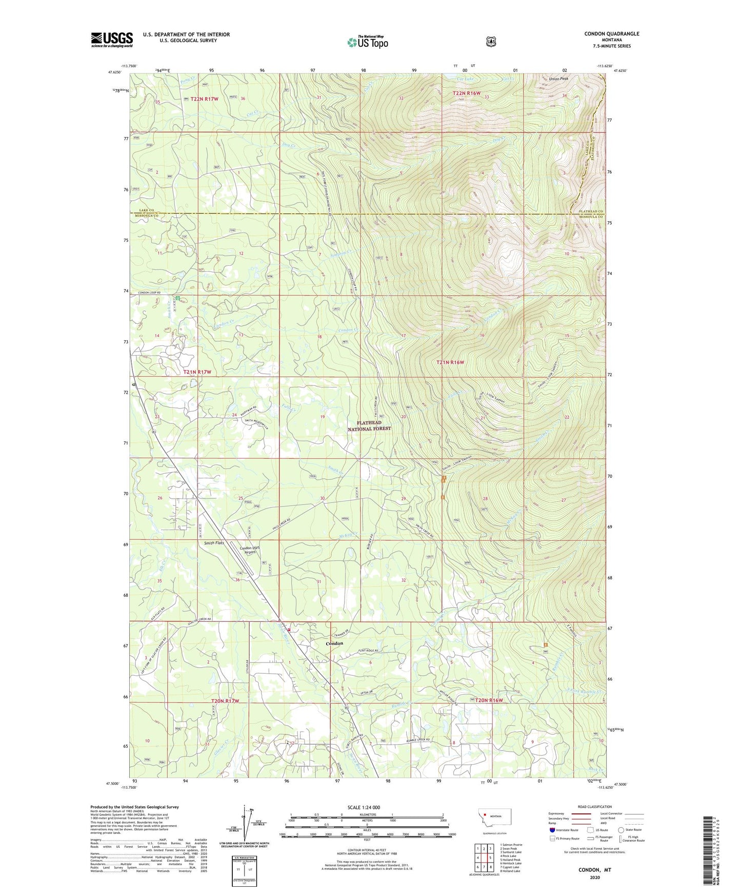
Condon Montana US Topo Map
Couldn't load pickup availability
Also explore the Condon Forest Service Topo of this same quad for updated USFS data
2024 topographic map quadrangle Condon in the state of Montana. Scale: 1:24000. Based on the newly updated USGS 7.5' US Topo map series, this map is in the following counties: Missoula, Lake, Flathead. The map contains contour data, water features, and other items you are used to seeing on USGS maps, but also has updated roads and other features. This is the next generation of topographic maps. Printed on high-quality waterproof paper with UV fade-resistant inks.
Quads adjacent to this one:
West: Peck Lake
Northwest: Salmon Prairie
North: Swan Peak
Northeast: Sunburst Lake
East: Holland Peak
Southeast: Holland Lake
South: Cygnet Lake
Southwest: Hemlock Lake
This map covers the same area as the classic USGS quad with code o47113e6.
Contains the following named places: 20N16W06CBAA01 Well, 20N16W06DCD_01 Well, 20N16W07ADAA01 Well, 20N16W07CABB01 Well, 20N16W07CACB01 Well, 20N17W01ABCD01 Well, 20N17W01BAAB01 Well, 20N17W01BDDD01 Well, 20N17W01DCBD01 Well, 20N17W02BAAA01 Well, 20N17W02DCBA01 Well, 20N17W12DADB01 Well, 21N16W32ACBA01 Well, 21N17W14BBAB01 Well, 21N17W14CABC01 Well, 21N17W23BBDA01 Well, 21N17W24DBDB01 Well, 21N17W26ABCD01 Well, 21N17W26ADBD01 Well, 21N17W26BADA01 Well, 21N17W26DAAA01 Well, 21N17W26DACC01 Well, 21N17W26DCBC01 Well, 21N17W26DDDB01 Well, 21N17W36ACCA01 Well, 21N17W36DDBA01 Well, Cat Creek, Condon, Condon Census Designated Place, Condon Community Church, Condon Forest Service Station, Condon Lookout Tower, Condon Post Office, Condon USFS Airport, Cooney Creek, Cooney Lookout Tower, Elk Creek, Faith Lutheran Church, Falls Creek, Glacier Creek, McKay Creek, Rumble Creek, Rumble Creek Post Office, Simpson Creek, Smith Creek, Smith Flats, South Fork Rumble Creek, Stroms Store, Swan Valley Branch Library, Swan Valley Emergency Services Station 1


