MyTopo
Davis Point Montana US Topo Map
Couldn't load pickup availability
Also explore the Davis Point Forest Service Topo of this same quad for updated USFS data
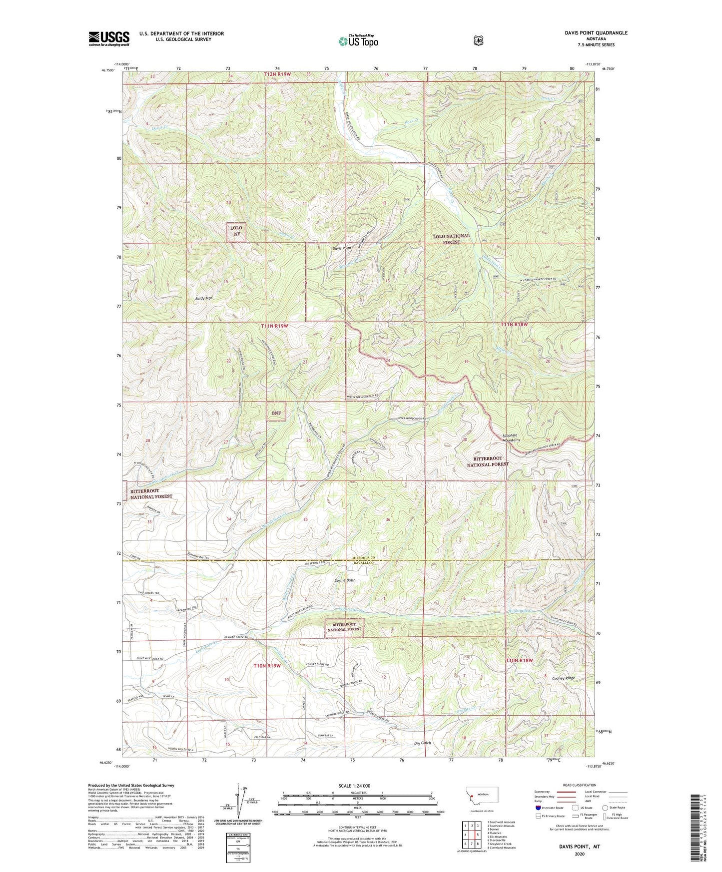
2024 topographic map quadrangle Davis Point in the state of Montana. Scale: 1:24000. Based on the newly updated USGS 7.5' US Topo map series, this map is in the following counties: Missoula, Ravalli. The map contains contour data, water features, and other items you are used to seeing on USGS maps, but also has updated roads and other features. This is the next generation of topographic maps. Printed on high-quality waterproof paper with UV fade-resistant inks.
Quads adjacent to this one:
West: Florence
Northwest: Southwest Missoula
North: Southeast Missoula
Northeast: Bonner
East: Elk Mountain
Southeast: Cleveland Mountain
South: Grayhorse Creek
Southwest: Stevensville
This map covers the same area as the classic USGS quad with code o46113f8.
Contains the following named places: 10N19W09ABCC01 Well, Baldy Mountain, Berry Rush Mine, Davis Point, Eight Mile, Eight Mile Creek Placer Mine, Eight Mile School, Granite Creek, Holloman Creek, NW SE Section 2 Mine, Park Creek, Plant Creek, Pyretees Post Office, Red Rock Mine, SE NE Section 11 Mine, Sluice Creek, Spooner Creek, Spring Basin, Waldbilling Mine, Whaley Mine, White Cloud Creek, White Cloud Mine, Woodchuck Dam