MyTopo
Coburg SE Montana US Topo Map
Couldn't load pickup availability
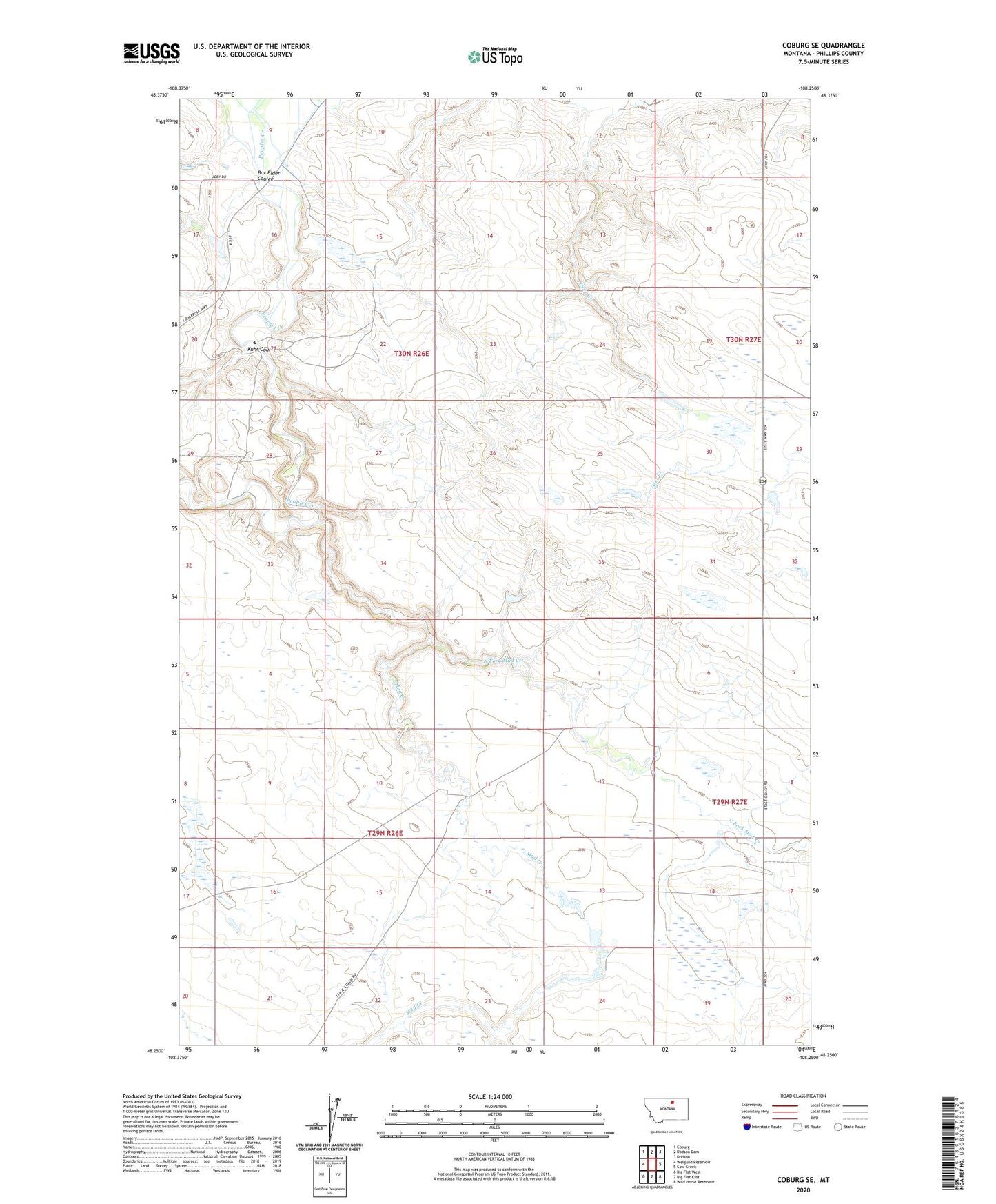
2024 topographic map quadrangle Coburg SE in the state of Montana. Scale: 1:24000. Based on the newly updated USGS 7.5' US Topo map series, this map is in the following counties: Phillips. The map contains contour data, water features, and other items you are used to seeing on USGS maps, but also has updated roads and other features. This is the next generation of topographic maps. Printed on high-quality waterproof paper with UV fade-resistant inks.
Quads adjacent to this one:
West: Weigand Reservoir
Northwest: Coburg
North: Dodson Dam
Northeast: Dodson
East: Cow Creek
Southeast: Wild Horse Reservoir
South: Big Flat East
Southwest: Big Flat West
This map covers the same area as the classic USGS quad with code o48108c3.
Contains the following named places: 30N26E09DCA_01 Well, 30N26E16AAA_01 Well, 30N26E16AAB_01 Well, 30N26E16ADBA01 Well, 30N26E17AAB_01 Well, 30N26E17ADBD01 Well, 30N26E17ADDD01 Well, Box Elder Coulee, Fort Belknap Number 1 Dam, Fort Belknap Number 4 Dam, Kuhr Coulee, Mud Creek, North Fork Mud Creek, Poe School, Rocky Number 1 Dam, Rocky Number 2 Dam, South School, Williamson School