MyTopo
Duplisse Creek South Montana US Topo Map
Couldn't load pickup availability
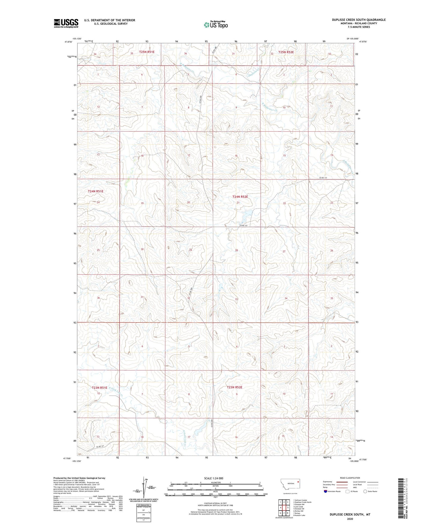
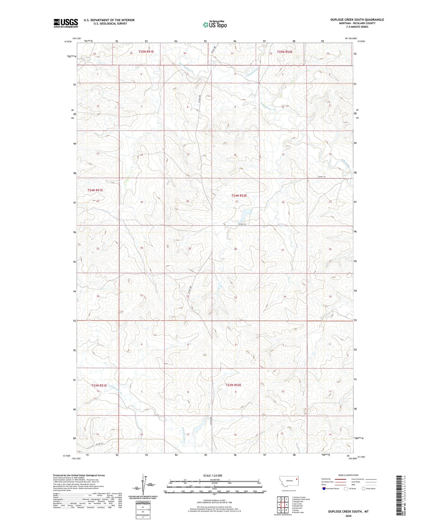
2020 topographic map quadrangle Duplisse Creek South in the state of Montana. Scale: 1:24000. Based on the newly updated USGS 7.5' US Topo map series, this map is in the following counties: Richland. The map contains contour data, water features, and other items you are used to seeing on USGS maps, but also has updated roads and other features. This is the next generation of topographic maps. Printed on high-quality waterproof paper with UV fade-resistant inks.
Quads adjacent to this one:
West: Lisk Creek
Northwest: Sullivan Coulee
North: Duplisse Creek North
Northeast: Elmdale NW
East: Elmdale SW
Southeast: Kuester Lake
South: Richey
Southwest: Richey NW
Contains the following named places: 23N51E12ADCC01 Well, 23N51E13ABAB01 Well, 23N52E07CDCA01 Well, 23N52E07CDDB01 Well, 23N52E09BCAB01 Well, 23N52E16CBCD01 Well, 23N52E18BDAC01 Well, 23N52E18BDBA01 Well, 24N51E24DDAB01 Well, 24N52E18CABB01 Well, 24N52E22CBBD01 Well, 24N52E22CBCA01 Well, 24N52E22DCDD01 Well, 24N52E28BBAD01 Well, 24N52E28CAAB01 Well, 24N52E29ABBA01 Well, 24N52E33BBCA01 Well, Bahls Dam, Crocket Dam, Duplisse Creek, Fatzinger Number 2 Dam, Win Number 2 Dam