MyTopo
Emily Coulee Montana US Topo Map
Couldn't load pickup availability
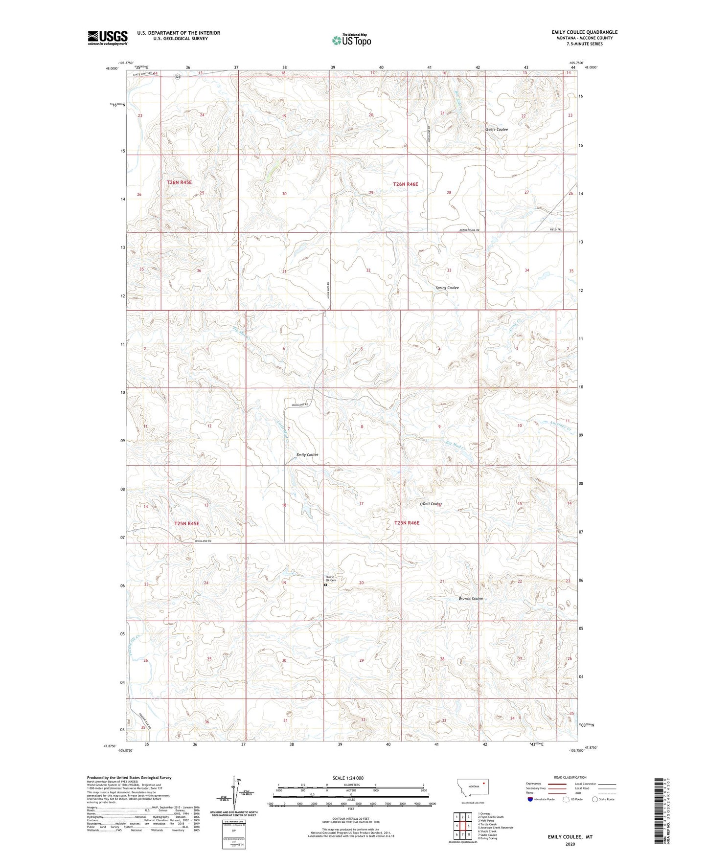
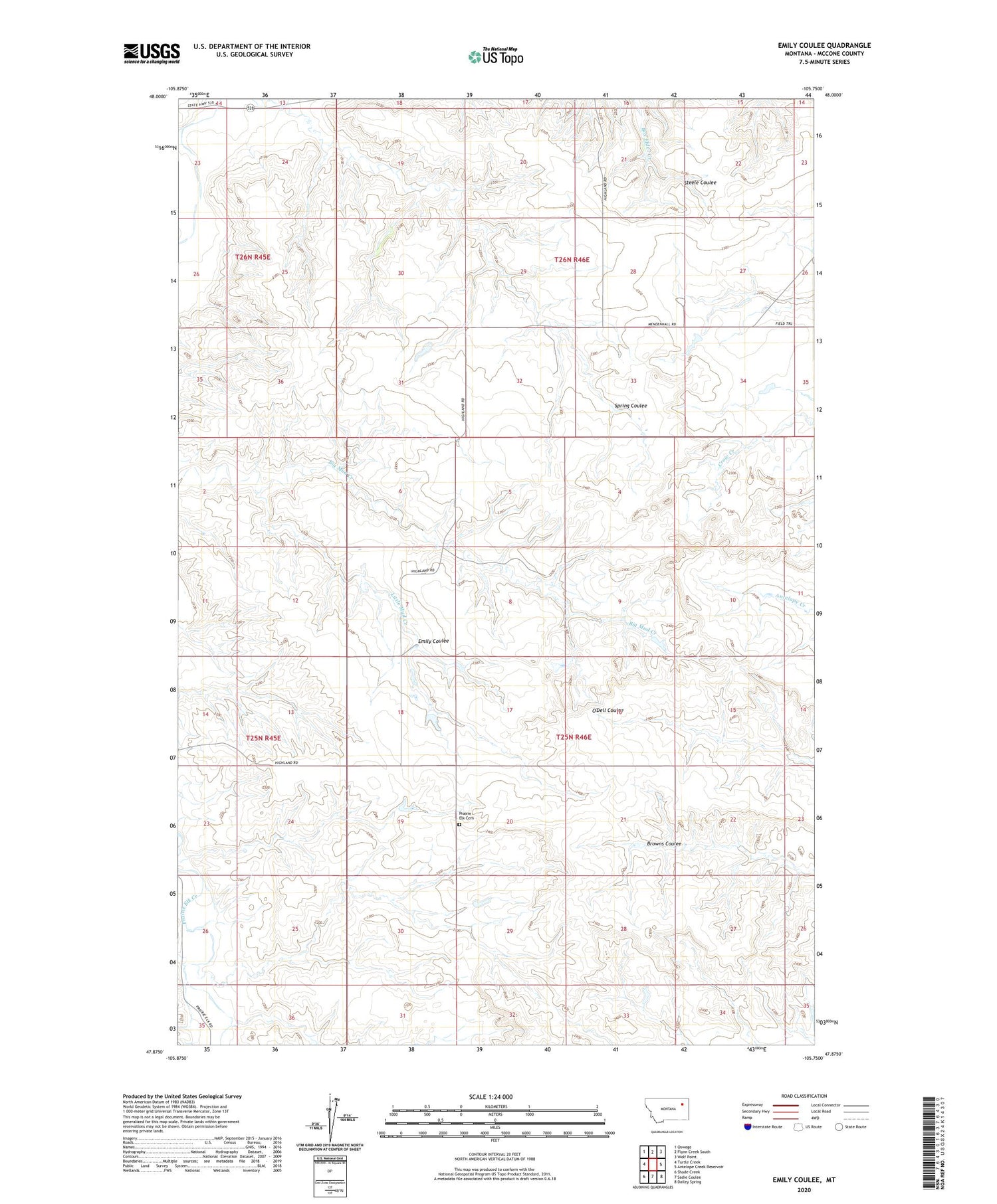
2020 topographic map quadrangle Emily Coulee in the state of Montana. Scale: 1:24000. Based on the newly updated USGS 7.5' US Topo map series, this map is in the following counties: McCone. The map contains contour data, water features, and other items you are used to seeing on USGS maps, but also has updated roads and other features. This is the next generation of topographic maps. Printed on high-quality waterproof paper with UV fade-resistant inks.
Quads adjacent to this one:
West: Turtle Creek
Northwest: Oswego
North: Flynn Creek South
Northeast: Wolf Point
East: Antelope Creek Reservoir
Southeast: Dailey Spring
South: Sadie Coulee
Southwest: Shade Creek
Contains the following named places: 25N45E13ADAB01 Well, 25N46E21AD__01 Well, 25N46E29CBAA01 Well, 25N46E31BDDB01 Well, 26N46E21CC__01 Well, Emily Coulee, Little Mud Creek, Martin Number 1 Dam, Prairie Elk Cemetery, Prairie Elk Lutheran Church, Westgard Dam