MyTopo
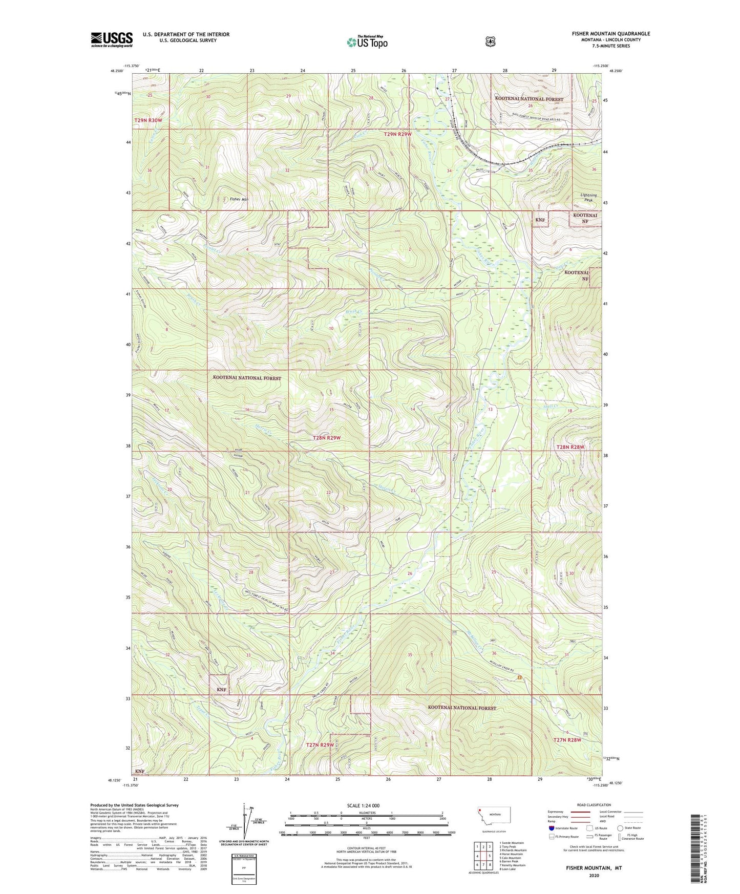
Fisher Mountain Montana US Topo Map
Couldn't load pickup availability
Also explore the Fisher Mountain Forest Service Topo of this same quad for updated USFS data
2024 topographic map quadrangle Fisher Mountain in the state of Montana. Scale: 1:24000. Based on the newly updated USGS 7.5' US Topo map series, this map is in the following counties: Lincoln. The map contains contour data, water features, and other items you are used to seeing on USGS maps, but also has updated roads and other features. This is the next generation of topographic maps. Printed on high-quality waterproof paper with UV fade-resistant inks.
Quads adjacent to this one:
West: Horse Mountain
Northwest: Swede Mountain
North: Tony Peak
Northeast: Richards Mountain
East: Calx Mountain
Southeast: Loon Lake
South: Kenelty Mountain
Southwest: Barren Peak
This map covers the same area as the classic USGS quad with code o48115b3.
Contains the following named places: Brush Creek, Cow Creek, Fisher Mountain, Fisher Mountain Trail, Fisher River Siding, Harris Creek, Leckrone Creek, Lightning Peak, McKillop Creek, Pecolet Creek, Smoke Creek, Snell Creek, Tepee Creek, Vian Creek, Wolf Creek