MyTopo
Fort Logan Montana US Topo Map
Couldn't load pickup availability
Also explore the Fort Logan Forest Service Topo of this same quad for updated USFS data
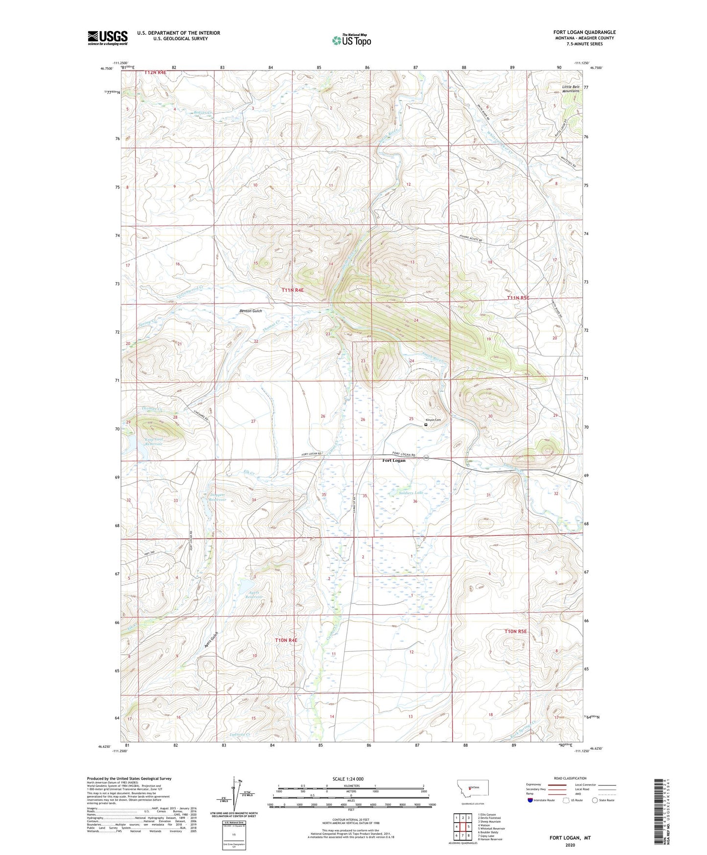
2024 topographic map quadrangle Fort Logan in the state of Montana. Scale: 1:24000. Based on the newly updated USGS 7.5' US Topo map series, this map is in the following counties: Meagher. The map contains contour data, water features, and other items you are used to seeing on USGS maps, but also has updated roads and other features. This is the next generation of topographic maps. Printed on high-quality waterproof paper with UV fade-resistant inks.
Quads adjacent to this one:
West: Watson
Northwest: Ellis Canyon
North: Devils Footstool
Northeast: Sheep Mountain
East: Whitetail Reservoir
Southeast: Hanson Reservoir
South: Gipsy Lake
Southwest: Boulder Baldy
This map covers the same area as the classic USGS quad with code o46111f2.
Contains the following named places: 11N04E25C___01 Well, 11N04E26DC__01 Well, 11N05E18DB__01 Well, 11N05E19AB__01 Well, 11N05E20C___01 Well, 11N05E32BA__01 Well, 11N05E32BC__01 Well, Ayers Dam, Ayers Gulch, Ayers Reservoir, Benton Gulch, Camas Creek, Camp Baker Military Reservation, Cottonwood Creek, Dogget Lake Dam, Doggett Reservoir, Elk Creek, Fort Logan, Fort Logan Post Office, Fort Logan School, Indiana Creek, Keep Cool Creek, Keep Cool Dam, Keep Cool Reservoir, Kinyon Cemetery, Lewis Post Office, Ringling, Smith River Recreation Site, Smith River Sportmans Access, Soldiers Lake, Spring Creek, Thomas Creek