MyTopo
Gildford NE Montana US Topo Map
Couldn't load pickup availability
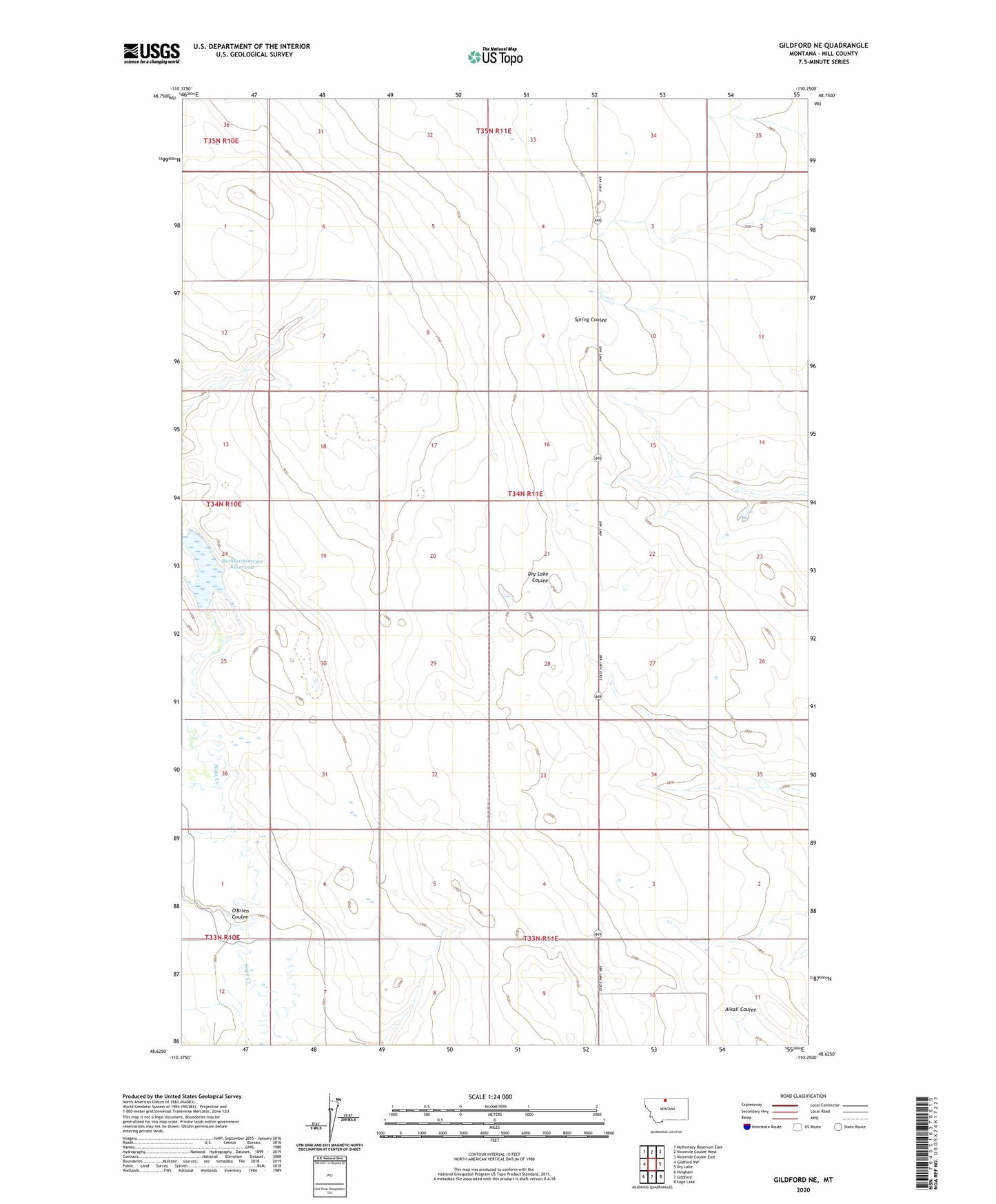
2024 topographic map quadrangle Gildford NE in the state of Montana. Scale: 1:24000. Based on the newly updated USGS 7.5' US Topo map series, this map is in the following counties: Hill. The map contains contour data, water features, and other items you are used to seeing on USGS maps, but also has updated roads and other features. This is the next generation of topographic maps. Printed on high-quality waterproof paper with UV fade-resistant inks.
Quads adjacent to this one:
West: Gildford NW
Northwest: McKinnsey Reservoir East
North: Ninemile Coulee West
Northeast: Ninemile Coulee East
East: Dry Lake
Southeast: Sage Lake
South: Gildford
Southwest: Hingham
This map covers the same area as the classic USGS quad with code o48110f3.
Contains the following named places: 35N11E31DCCC01 Well, 59525, Burkhartsmeyer Reservoir, Magnum East Dam, Magnum South Dam, O'Brien Coulee, T Stevenson Dam