MyTopo
Glenn Creek Montana US Topo Map
Couldn't load pickup availability
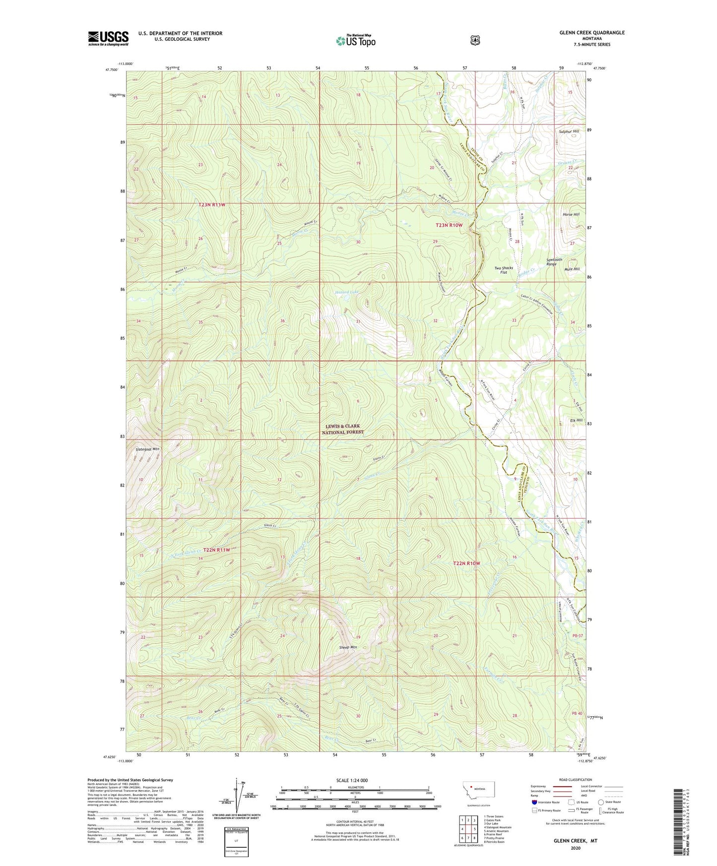
2020 topographic map quadrangle Glenn Creek in the state of Montana. Scale: 1:24000. Based on the newly updated USGS 7.5' US Topo map series, this map is in the following counties: Lewis and Clark, Teton. The map contains contour data, water features, and other items you are used to seeing on USGS maps, but also has updated roads and other features. This is the next generation of topographic maps. Printed on high-quality waterproof paper with UV fade-resistant inks.
Quads adjacent to this one:
West: Slategoat Mountain
Northwest: Three Sisters
North: Gates Park
Northeast: Our Lake
East: Arsenic Mountain
Southeast: Patricks Basin
South: Pretty Prairie
Southwest: Prairie Reef
Contains the following named places: Biggs Creek, Bridge Creek, Cabin Creek, Cabin Creek Guard Station, Circle Creek, Elk Hill, Freezeout Creek, Glenn Creek, Grouse Creek, Hazard Lake, Horse Hill, Moose Creek, Mule Hill, North Fork Glenn Creek, Sheep Mountain, South Fork Glenn Creek, Sulphur Creek, Sulphur Creek Lick, Sulphur Hill, Two Shacks Flat, Whiskey Creek