MyTopo
Hammond Draw SW Montana US Topo Map
Couldn't load pickup availability
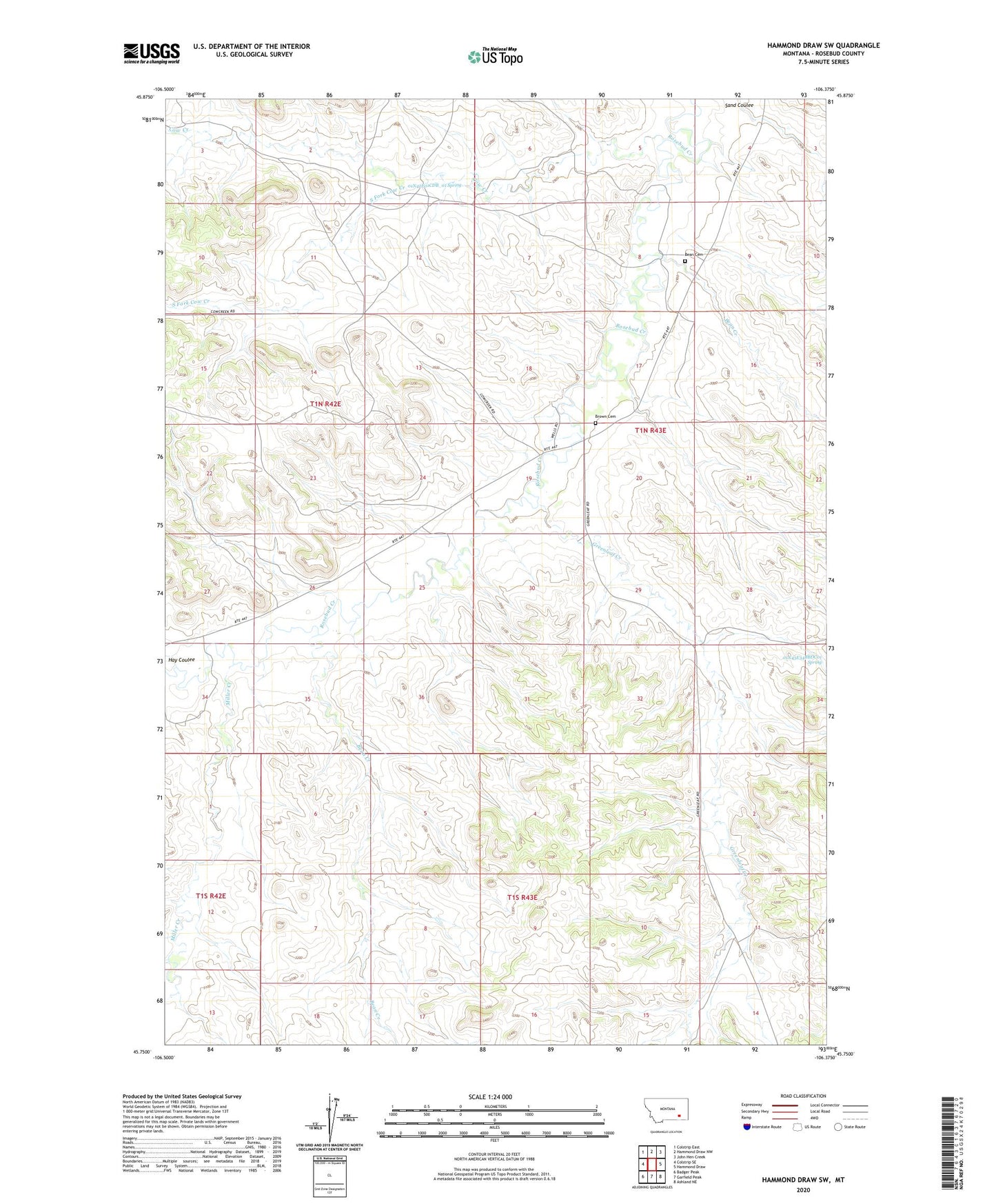
2024 topographic map quadrangle Hammond Draw SW in the state of Montana. Scale: 1:24000. Based on the newly updated USGS 7.5' US Topo map series, this map is in the following counties: Rosebud. The map contains contour data, water features, and other items you are used to seeing on USGS maps, but also has updated roads and other features. This is the next generation of topographic maps. Printed on high-quality waterproof paper with UV fade-resistant inks.
Quads adjacent to this one:
West: Colstrip SE
Northwest: Colstrip East
North: Hammond Draw NW
Northeast: John Hen Creek
East: Hammond Draw
Southeast: Ashland NE
South: Garfield Peak
Southwest: Badger Peak
This map covers the same area as the classic USGS quad with code o45106g4.
Contains the following named places: 01N42E01CDB_01 Spring, 01N42E12ABBA01 Well, 01N42E13BCAC01 Well, 01N42E22CABD01 Well, 01N42E25BBCC01 Well, 01N42E25BCDD01 Well, 01N42E34ACAB01 Well, 01N43E04ADDD01 Well, 01N43E08ACCA01 Well, 01N43E08ACDC01 Well, 01N43E09DDDA01 Well, 01N43E17AACA01 Well, 01N43E18DDBA01 Well, 01N43E20CCCD01 Well, 01N43E21CBCA01 Well, 01N43E29BCDA01 Well, 01N43E30BBDB01 Well, 01N43E31ADBC01 Well, 01N43E31BADC01 Well, 01N43E32DDAA01 Well, 01N43E33BBBB01 Well, 01N43E34BBDC01 Spring, 01S42E12C___01 Well, 01S42E12CBDC01 Well, 01S43E11BDDC01 Well, 01S43E11CBDA01 Well, 01S43E15AADD01 Well, 01S43E16ABCC01 Well, 01S43E17BCAC01 Well, 06S43E20DDBB01 Well, Bean Cemetery, Bean Creek, Brown Cemetery, Cow Creek, Greenleaf Creek, Hay Coulee, Lee, Lee Post Office, Lee School, Miller Creek, Red Cloud Sioux-Bozeman Party Battlefield, South Fork Cow Creek