MyTopo
John Hen Creek Montana US Topo Map
Couldn't load pickup availability
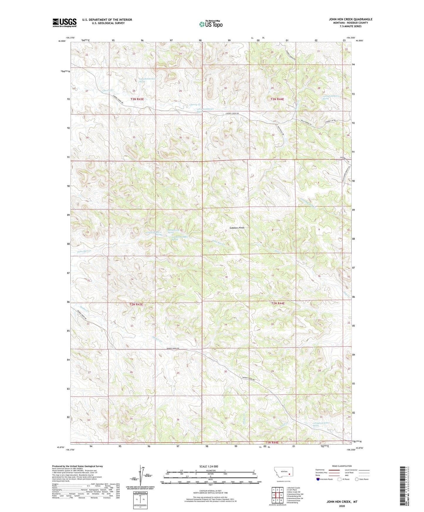
2024 topographic map quadrangle John Hen Creek in the state of Montana. Scale: 1:24000. Based on the newly updated USGS 7.5' US Topo map series, this map is in the following counties: Rosebud. The map contains contour data, water features, and other items you are used to seeing on USGS maps, but also has updated roads and other features. This is the next generation of topographic maps. Printed on high-quality waterproof paper with UV fade-resistant inks.
Quads adjacent to this one:
West: Hammond Draw NW
Northwest: Mitchell Coulee
North: Crain Place
Northeast: Miller Creek SW
East: Brandenberg NW
Southeast: Brandenberg
South: Hammond Draw
Southwest: Hammond Draw SW
This map covers the same area as the classic USGS quad with code o45106h3.
Contains the following named places: 02N43E02ABBD01 Well, 02N43E10DDAA01 Well, 02N43E12AC__01 Spring, 02N43E12CABB01 Spring, 02N43E12CBAC01 Spring, 02N43E23CBAB01 Well, 02N43E23CBBA01 Well, 02N43E24CCBA01 Well, 02N43E24CCBC01 Well, 02N43E24CDDA01 Well, 02N43E25BCAA01 Well, 02N43E27AADD01 Well, 02N43E36BAAB01 Well, 02N43E36DBDD01 Well, 02N44E17CABC01 Well, 02N44E19CCCC01 Well, 02N44E21DDDC01 Well, 02N44E29AABA01 Well, 02N44E29CBBB01 Well, 02N44E32DAAC01 Well, 02N44E33CACD01 Spring, 02N44E33DDAC01 Well, 02N44E34CCCD01 Well, 03N43E25DDCA01 Spring, 03N43E26ACAC01 Spring, 03N43E26DACC01 Well, 03N43E27ABDC01 Well, 03N44E21CBAB01 Well, 03N44E28DBCC01 Spring, 03N44E28DBDC01 Well, 03N44E31BAAA01 Well, 03N44E31CBDC01 Well, 03N44E31CBDC02 Well, 03N44E32BBDA01 Well, 03N44E32BDBA01 Well, Gobblers Knob, Signal Butte