MyTopo
Hay Basin NE Montana US Topo Map
Couldn't load pickup availability
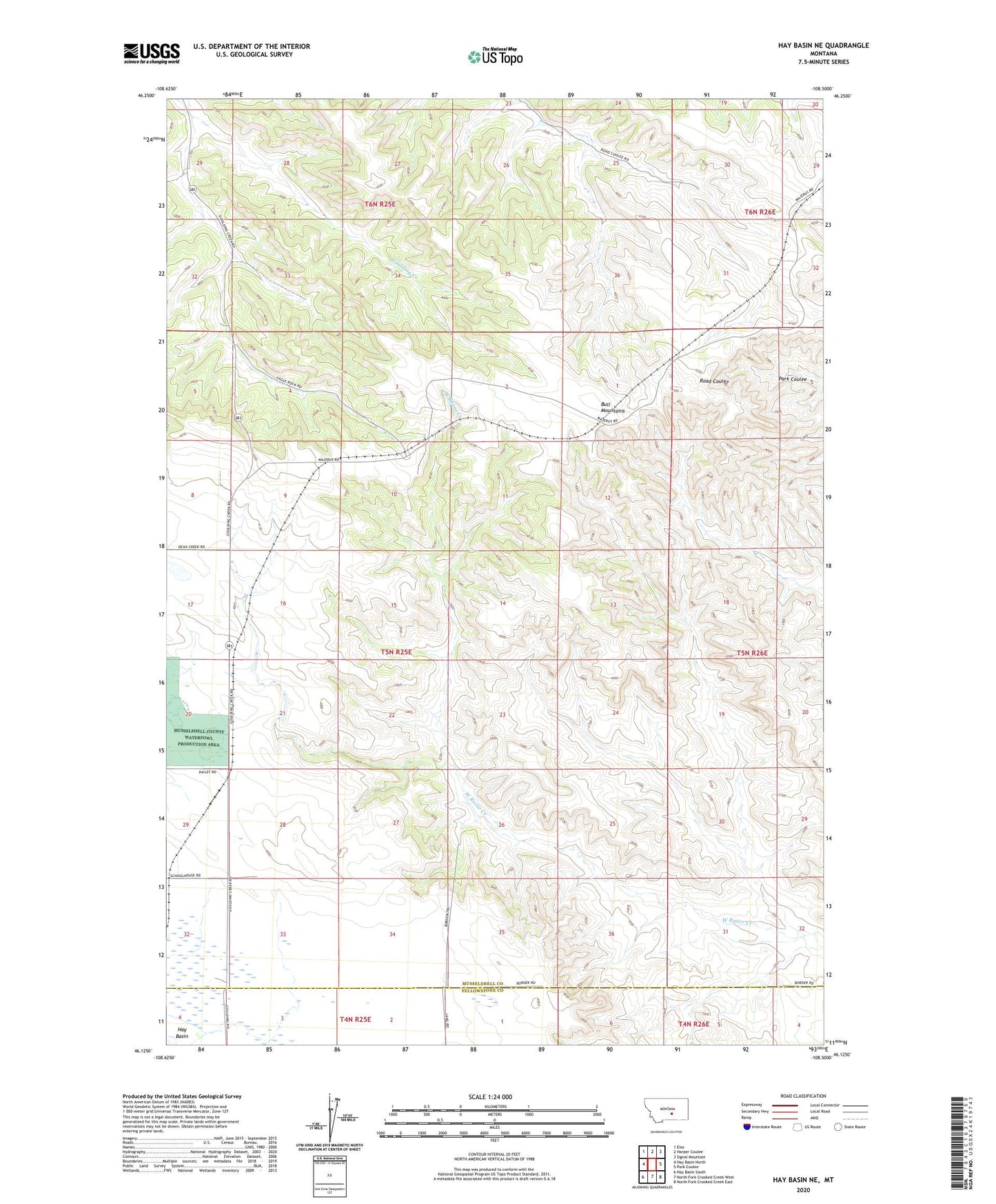
2024 topographic map quadrangle Hay Basin NE in the state of Montana. Scale: 1:24000. Based on the newly updated USGS 7.5' US Topo map series, this map is in the following counties: Musselshell, Yellowstone. The map contains contour data, water features, and other items you are used to seeing on USGS maps, but also has updated roads and other features. This is the next generation of topographic maps. Printed on high-quality waterproof paper with UV fade-resistant inks.
Quads adjacent to this one:
West: Hay Basin North
Northwest: Elso
North: Harper Coulee
Northeast: Signal Mountain
East: Park Coulee
Southeast: North Fork Crooked Creek East
South: North Fork Crooked Creek West
Southwest: Hay Basin South
This map covers the same area as the classic USGS quad with code o46108b5.
Contains the following named places: 05N25E03CCA_01 Well, 05N25E16CCCC01 Well, 05N25E16CCCC02 Well, Antelope Mine, Berten Mine, Wild Flower Dam