MyTopo
Hay Basin North Montana US Topo Map
Couldn't load pickup availability
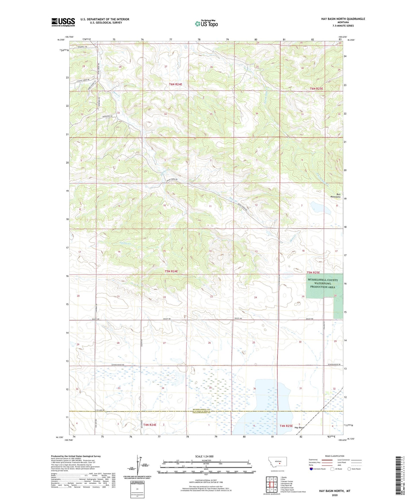
2024 topographic map quadrangle Hay Basin North in the state of Montana. Scale: 1:24000. Based on the newly updated USGS 7.5' US Topo map series, this map is in the following counties: Musselshell, Yellowstone. The map contains contour data, water features, and other items you are used to seeing on USGS maps, but also has updated roads and other features. This is the next generation of topographic maps. Printed on high-quality waterproof paper with UV fade-resistant inks.
Quads adjacent to this one:
West: Broadview NE
Northwest: Bundy
North: Elso
Northeast: Harper Coulee
East: Hay Basin NE
Southeast: North Fork Crooked Creek West
South: Hay Basin South
Southwest: Broadview East
This map covers the same area as the classic USGS quad with code o46108b6.
Contains the following named places: 05N24E20DDDC01 Well, 05N24E33BADA01 Well, 05N25E30DDCD01 Well, 06N24E28CBCA01 Well, 06N24E29ABC_01 Well, 06N24E33ACBB01 Well, Ethel Post Office, Fulcher Creek, Hay Basin, Musselshell County Waterfowl Production Area