MyTopo
Headlight Butte NW Montana US Topo Map
Couldn't load pickup availability
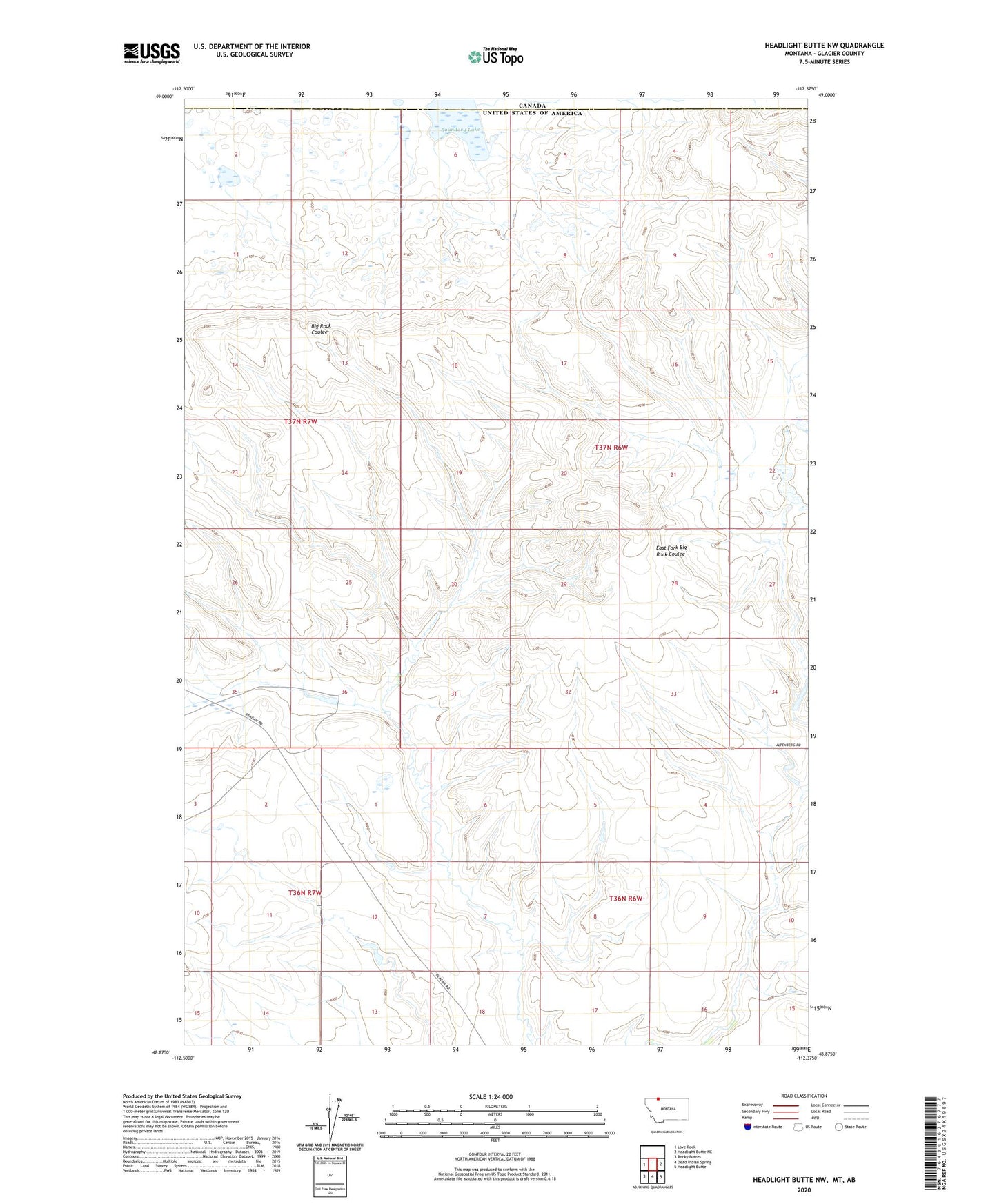
2024 topographic map quadrangle Headlight Butte NW in the state of Montana. Scale: 1:24000. Based on the newly updated USGS 7.5' US Topo map series, this map is in the following counties: Glacier. The map contains contour data, water features, and other items you are used to seeing on USGS maps, but also has updated roads and other features. This is the next generation of topographic maps. Printed on high-quality waterproof paper with UV fade-resistant inks.
Quads adjacent to this one:
West: Love Rock
East: Headlight Butte NE
Southeast: Headlight Butte
South: Dead Indian Spring
Southwest: Rocky Buttes
This map covers the same area as the classic USGS quad with code o48112h4.
Contains the following named places: Boundary Lake, Marathon Dam