MyTopo
Huckins School Montana US Topo Map
Couldn't load pickup availability
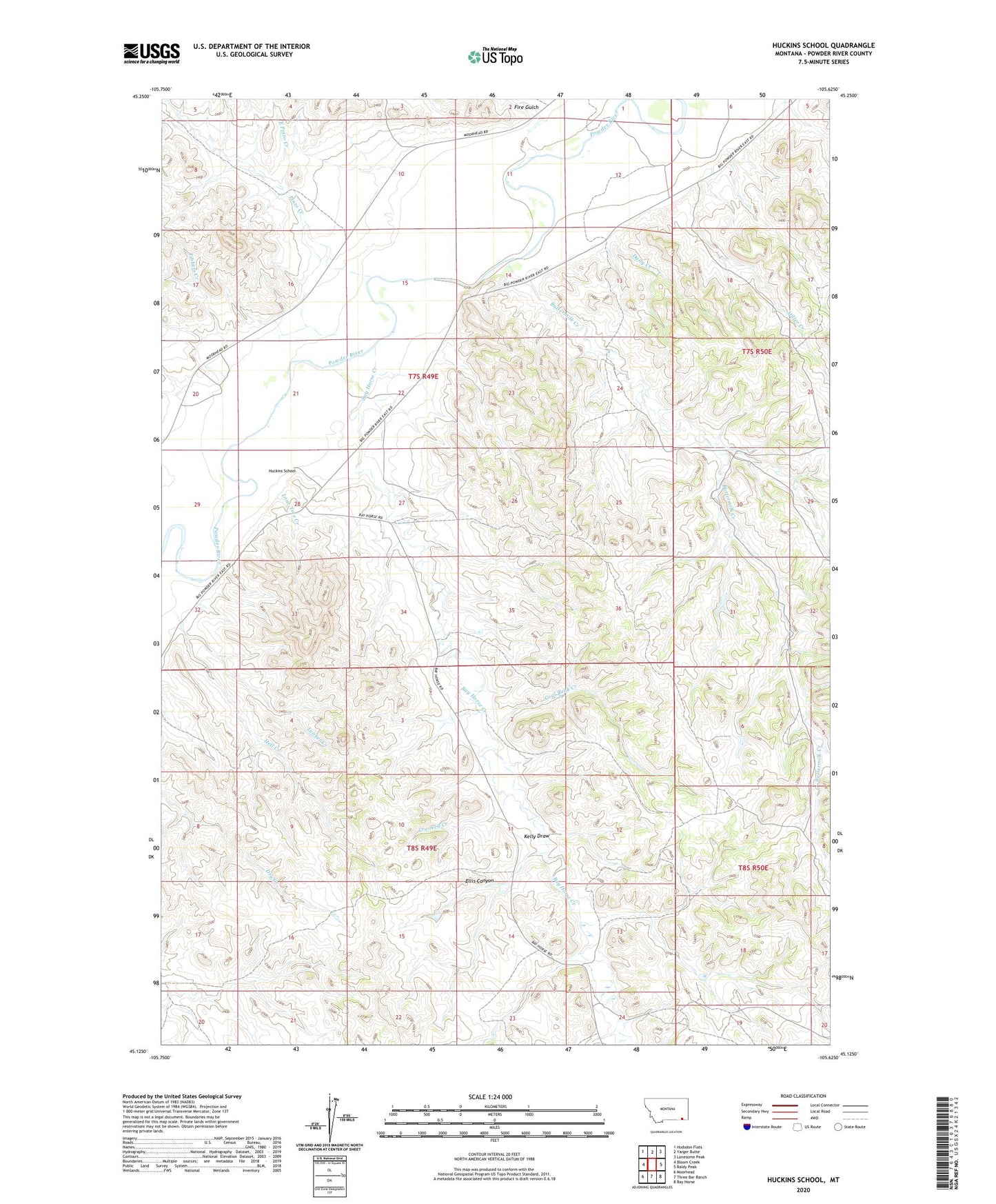
2024 topographic map quadrangle Huckins School in the state of Montana. Scale: 1:24000. Based on the newly updated USGS 7.5' US Topo map series, this map is in the following counties: Powder River. The map contains contour data, water features, and other items you are used to seeing on USGS maps, but also has updated roads and other features. This is the next generation of topographic maps. Printed on high-quality waterproof paper with UV fade-resistant inks.
Quads adjacent to this one:
West: Bloom Creek
Northwest: Hodsdon Flats
North: Yarger Butte
Northeast: Lonesome Peak
East: Baldy Peak
Southeast: Bay Horse
South: Three Bar Ranch
Southwest: Moorhead
This map covers the same area as the classic USGS quad with code o45105b6.
Contains the following named places: 05N49E14CBBA01 Well, 07S49E12AD__01 Well, 07S49E16CDDC01 Well, 07S49E20AD__01 Well, 07S49E20ADCC01 Well, 07S49E21DA__01 Well, 07S49E23CD__01 Well, 07S49E24DACC01 Well, 07S49E25BCAD01 Well, 07S49E27AD__01 Well, 07S49E28DAAC01 Well, 07S49E32ACC_01 Well, 07S49E35CCCB01 Well, 08S49E04CDBB01 Well, 08S49E20BD__01 Well, 08S49E21AA__01 Well, Bay Horse Creek, Buttermilk Creek, Coal Bank Creek, Crooked Creek, Daily Creek, East Pinto Creek, Ellis Canyon, Eureka Reservoir, Eureka Reservoir West Dike Dam, Fire Creek, Fire Gulch, Hell Creek, Huckins Number 2 Dam, Huckins School, Kelly Draw, Leitner Creek, Lone Tree Creek, Miller Creek, Pinto Creek, Reder Dam, Tibbets Creek, Traub Number 1 Dam, Traub Number 2 Dam, United States Number 2 Dam


