
MyTopo
Jiggs Flat Montana US Topo Map
Couldn't load pickup availability
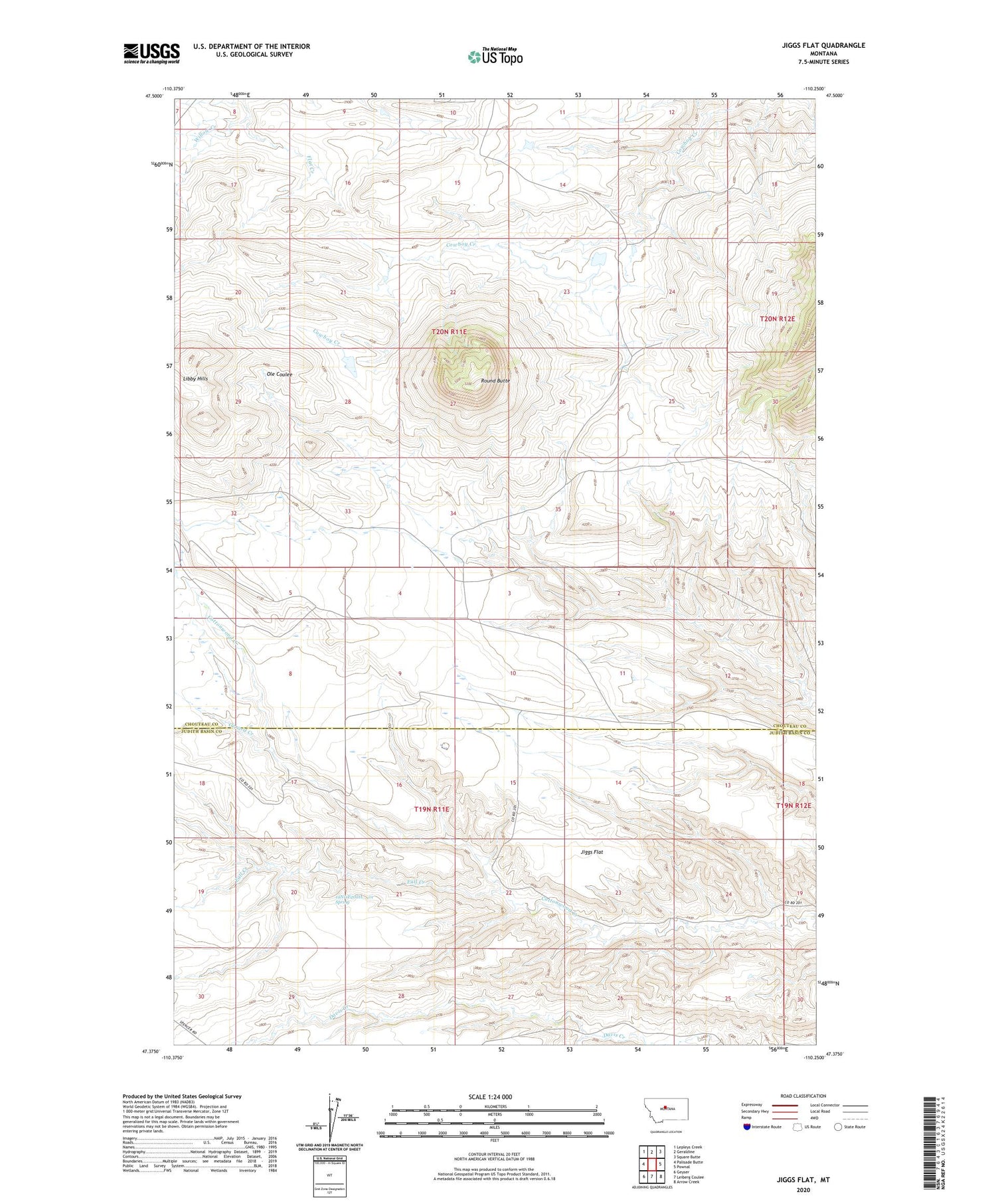
2020 topographic map quadrangle Jiggs Flat in the state of Montana. Scale: 1:24000. Based on the newly updated USGS 7.5' US Topo map series, this map is in the following counties: Chouteau, Judith Basin. The map contains contour data, water features, and other items you are used to seeing on USGS maps, but also has updated roads and other features. This is the next generation of topographic maps. Printed on high-quality waterproof paper with UV fade-resistant inks.
Quads adjacent to this one:
West: Palisade Butte
Northwest: Lepleys Creek
North: Geraldine
Northeast: Square Butte
East: Pownal
Southeast: Arrow Creek
South: Leiberg Coulee
Southwest: Geyser
Contains the following named places: 19N11E20DA__01 Spring, Fall Creek, Gerard Creek, Jiggs Flat, Libby Hills, Round Butte, Willow Creek


