MyTopo
Lepleys Creek Montana US Topo Map
Couldn't load pickup availability
Also explore the Lepleys Creek Forest Service Topo of this same quad for updated USFS data
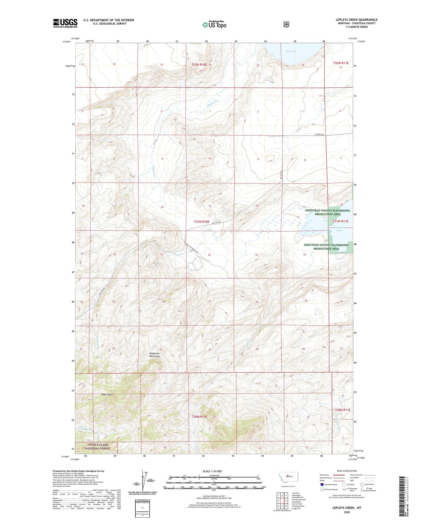
2024 topographic map quadrangle Lepleys Creek in the state of Montana. Scale: 1:24000. Based on the newly updated USGS 7.5' US Topo map series, this map is in the following counties: Chouteau. The map contains contour data, water features, and other items you are used to seeing on USGS maps, but also has updated roads and other features. This is the next generation of topographic maps. Printed on high-quality waterproof paper with UV fade-resistant inks.
Quads adjacent to this one:
West: Carter Mountain
Northwest: Shonkin
North: Montague
Northeast: Geraldine NE
East: Geraldine
Southeast: Jiggs Flat
South: Palisade Butte
Southwest: Arrow Peak
This map covers the same area as the classic USGS quad with code o47110e4.
Contains the following named places: 21N11E06BBCC01 Well, 21N11E06BBCC02 Well, Alder Creek, Geraldine Division, Lepley