MyTopo
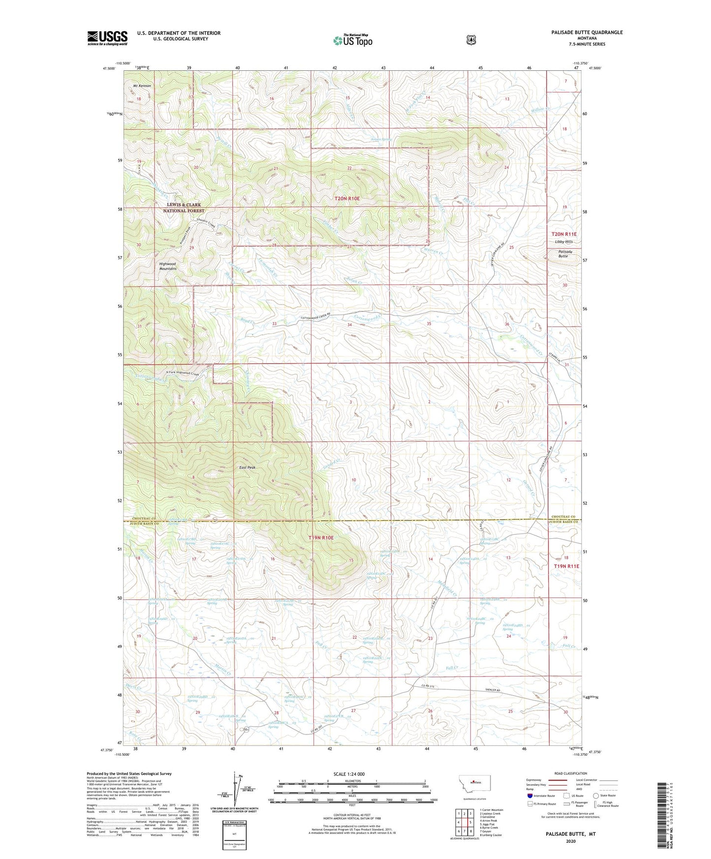
Palisade Butte Montana US Topo Map
Couldn't load pickup availability
Also explore the Palisade Butte Forest Service Topo of this same quad for updated USFS data
2024 topographic map quadrangle Palisade Butte in the state of Montana. Scale: 1:24000. Based on the newly updated USGS 7.5' US Topo map series, this map is in the following counties: Chouteau, Judith Basin. The map contains contour data, water features, and other items you are used to seeing on USGS maps, but also has updated roads and other features. This is the next generation of topographic maps. Printed on high-quality waterproof paper with UV fade-resistant inks.
Quads adjacent to this one:
West: Arrow Peak
Northwest: Carter Mountain
North: Lepleys Creek
Northeast: Geraldine
East: Jiggs Flat
Southeast: Leiberg Coulee
South: Geyser
Southwest: Byrne Creek
This map covers the same area as the classic USGS quad with code o47110d4.
Contains the following named places: 19N10E13BC__01 Spring, 19N10E14DA__01 Spring, 19N10E15DA__01 Spring, 19N10E15DC__01 Spring, 19N10E17AC__01 Spring, 19N10E17BB__01 Spring, 19N10E17BD__01 Spring, 19N10E17DA__01 Spring, 19N10E19AA__01 Spring, 19N10E19AD__01 Spring, 19N10E20AB__01 Spring, 19N10E20DA__01 Spring, 19N10E21AB__01 Spring, 19N10E22DB__01 Spring, 19N10E22DC__01 Spring, 19N10E24BB__01 Spring, 19N10E24BC__01 Spring, 19N10E24BD__01 Spring, 19N10E27CB__01 Spring, 19N10E28AC__01 Spring, 19N10E28CA__01 Well, 19N10E28CA__02 Well, 19N10E28CA__03 Spring, 19N10E28CB__01 Spring, 19N10E29BD__01 Spring, Boyd Creek, Chimney Creek, Corral Creek, East Peak, In-moolsh Creek, Jensen Spring, Knerville Post Office, Mansfield Creek, Merrill Creek, Mount Kennon, Palisade Butte, Shed Creek, Timber Creek, Tolan Creek, Warren Creek