MyTopo
Locomotive Butte SW Montana US Topo Map
Couldn't load pickup availability
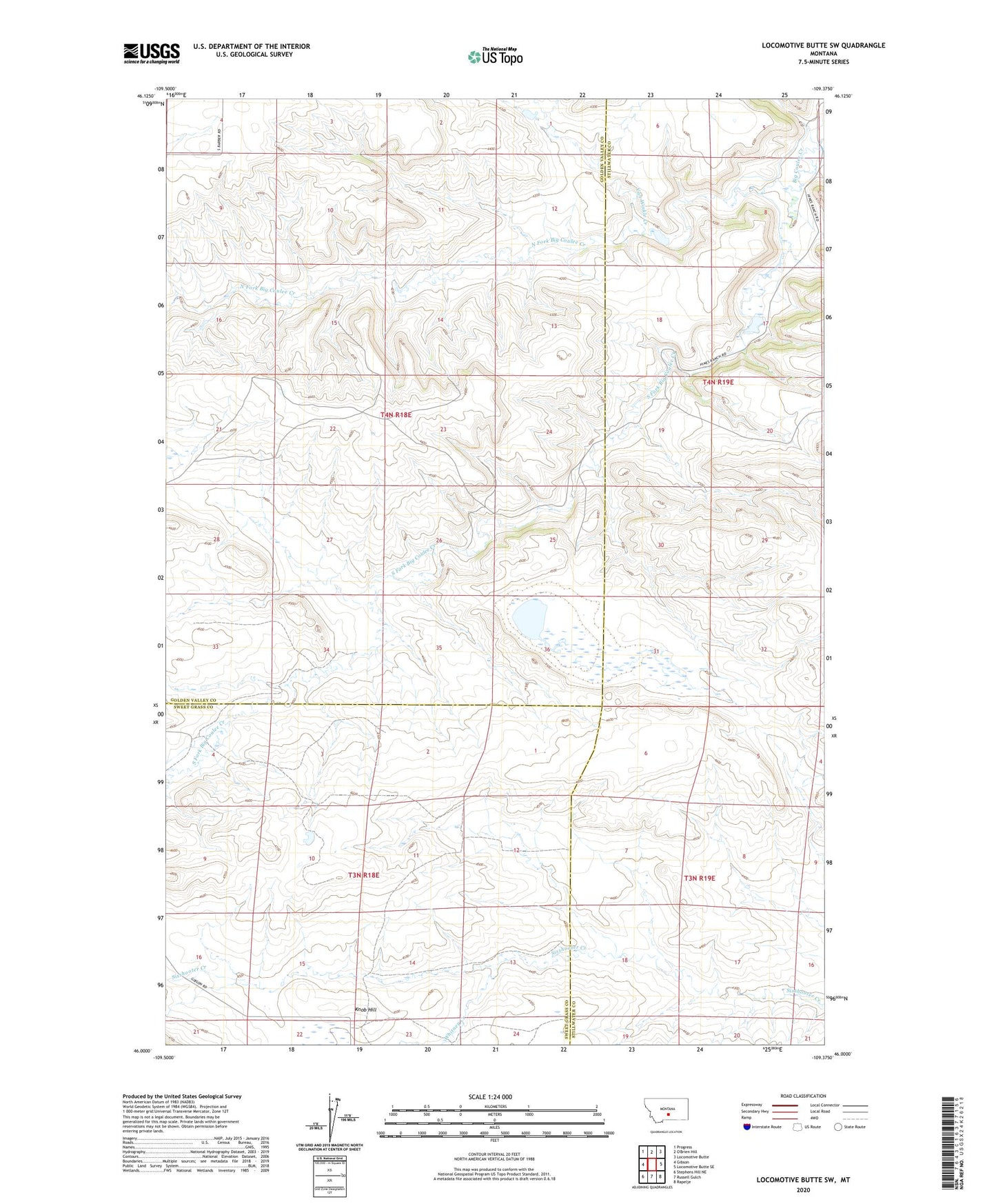
2024 topographic map quadrangle Locomotive Butte SW in the state of Montana. Scale: 1:24000. Based on the newly updated USGS 7.5' US Topo map series, this map is in the following counties: Golden Valley, Stillwater, Sweet Grass. The map contains contour data, water features, and other items you are used to seeing on USGS maps, but also has updated roads and other features. This is the next generation of topographic maps. Printed on high-quality waterproof paper with UV fade-resistant inks.
Quads adjacent to this one:
West: Gibson
Northwest: Progress
Northeast: Locomotive Butte
East: Locomotive Butte SE
Southeast: Rapelje
South: Russell Gulch
Southwest: Stephens Hill NE
This map covers the same area as the classic USGS quad with code o46109a4.
Contains the following named places: 03N18E04____01 Well, 03N18E15ADCB01 Well, 03N19E07DA__01 Well, 03N19E17CD__01 Well, Knob Hill, North Fork Big Coulee Creek, South Fork Big Coulee Creek, Van Winkle Creek, Weppler Number 1 Dam, Weppler Number 2 Dam, Whitney Creek