MyTopo
Progress Montana US Topo Map
Couldn't load pickup availability
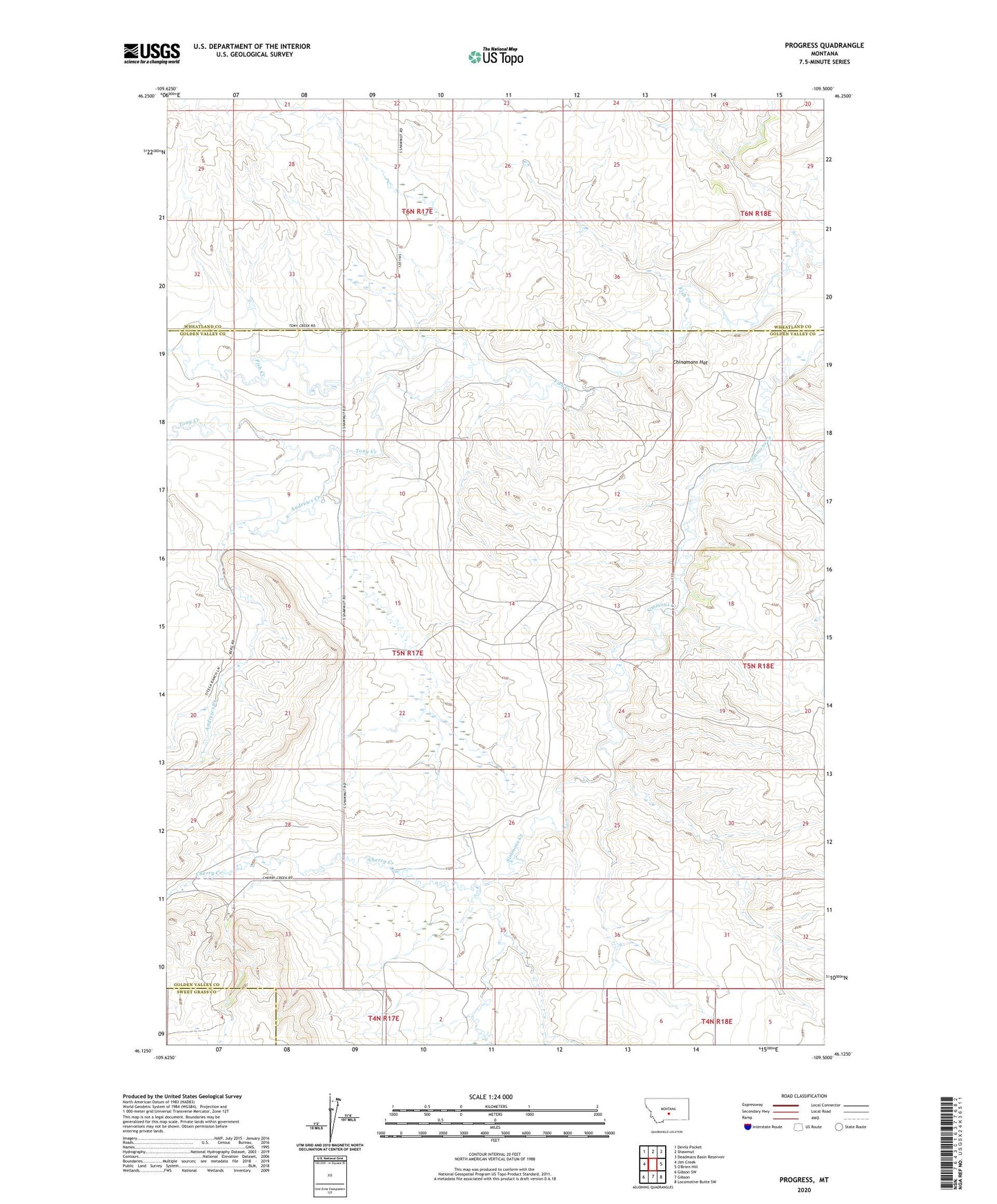
2024 topographic map quadrangle Progress in the state of Montana. Scale: 1:24000. Based on the newly updated USGS 7.5' US Topo map series, this map is in the following counties: Golden Valley, Wheatland, Sweet Grass. The map contains contour data, water features, and other items you are used to seeing on USGS maps, but also has updated roads and other features. This is the next generation of topographic maps. Printed on high-quality waterproof paper with UV fade-resistant inks.
Quads adjacent to this one:
West: Jim Creek
Northwest: Devils Pocket
North: Shawmut
Northeast: Deadmans Basin Reservoir
Southeast: Locomotive Butte SW
South: Gibson
Southwest: Gibson SW
This map covers the same area as the classic USGS quad with code o46109b5.
Contains the following named places: Andrews Creek, Cherry Creek, Chinamans Hat, Progress, Progress School, Tony Creek