MyTopo
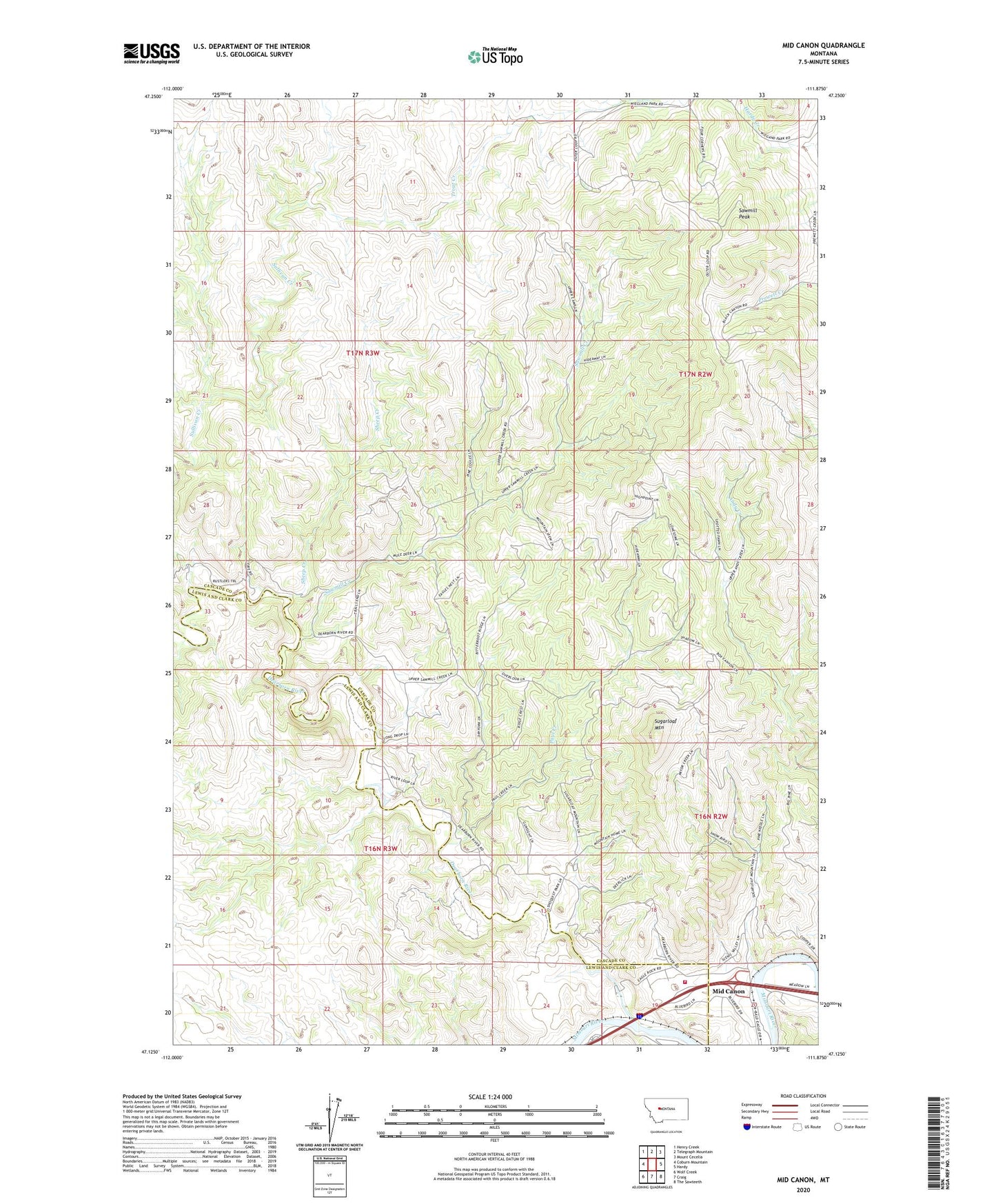
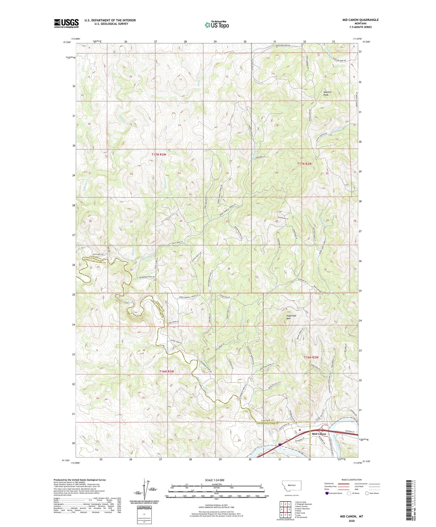
Mid Canon Montana US Topo Map
Couldn't load pickup availability
2020 topographic map quadrangle Mid Canon in the state of Montana. Scale: 1:24000. Based on the newly updated USGS 7.5' US Topo map series, this map is in the following counties: Cascade, Lewis and Clark. The map contains contour data, water features, and other items you are used to seeing on USGS maps, but also has updated roads and other features. This is the next generation of topographic maps. Printed on high-quality waterproof paper with UV fade-resistant inks.
Quads adjacent to this one:
West: Coburn Mountain
Northwest: Henry Creek
North: Telegraph Mountain
Northeast: Mount Cecelia
East: Hardy
Southeast: The Sawteeth
South: Craig
Southwest: Wolf Creek
Contains the following named places: Caldwell Homestead, Clark Homestead, Dearborn Fishing Access Site, Dearborn Rest Area, Dearborn River, Dearborn Volunteer Fire Company, Eagle Island Fishing Access Site, Lesofski Homestead, McKinzter Homestead, Mid Canon, Mid Canon Fishing Access Site, Mid Canon Post Office, Missouri River Canyon Historical Marker, Paul Creek, River Canyon RV Park, Sawmill Creek, Sawmill Peak, Sheep Creek, Sugarloaf Mountain, Timberman Homestead, Trout Creek, Trout Creek School