MyTopo
The Sawteeth Montana US Topo Map
Couldn't load pickup availability
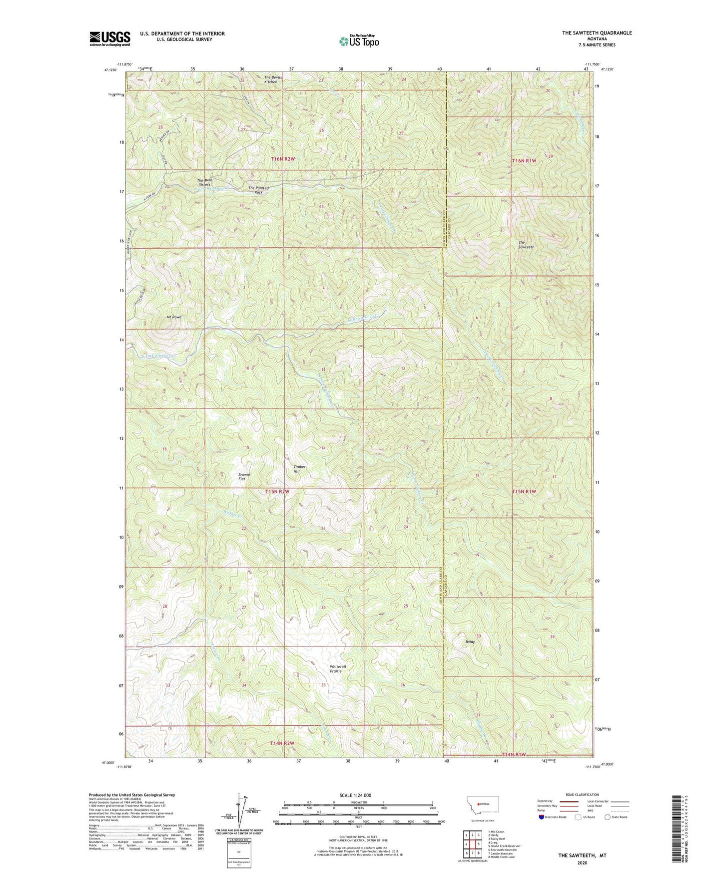
2024 topographic map quadrangle The Sawteeth in the state of Montana. Scale: 1:24000. Based on the newly updated USGS 7.5' US Topo map series, this map is in the following counties: Lewis and Clark, Cascade. The map contains contour data, water features, and other items you are used to seeing on USGS maps, but also has updated roads and other features. This is the next generation of topographic maps. Printed on high-quality waterproof paper with UV fade-resistant inks.
Quads adjacent to this one:
West: Craig
Northwest: Mid Canon
North: Hardy
Northeast: Rocky Reef
East: Hound Creek Reservoir
Southeast: Middle Creek Lake
South: Candle Mountain
Southwest: Beartooth Mountain
This map covers the same area as the classic USGS quad with code o47111a7.
Contains the following named places: Baldy, Browns Flat, Frazier Creek, Little Stickney Creek, Mount Rowe, The Devils Kitchen, The Painted Rock, The Sawteeth, The Twin Sisters, Timber Hill, Whitetail Prairie