MyTopo
Mildred NE Montana US Topo Map
Couldn't load pickup availability
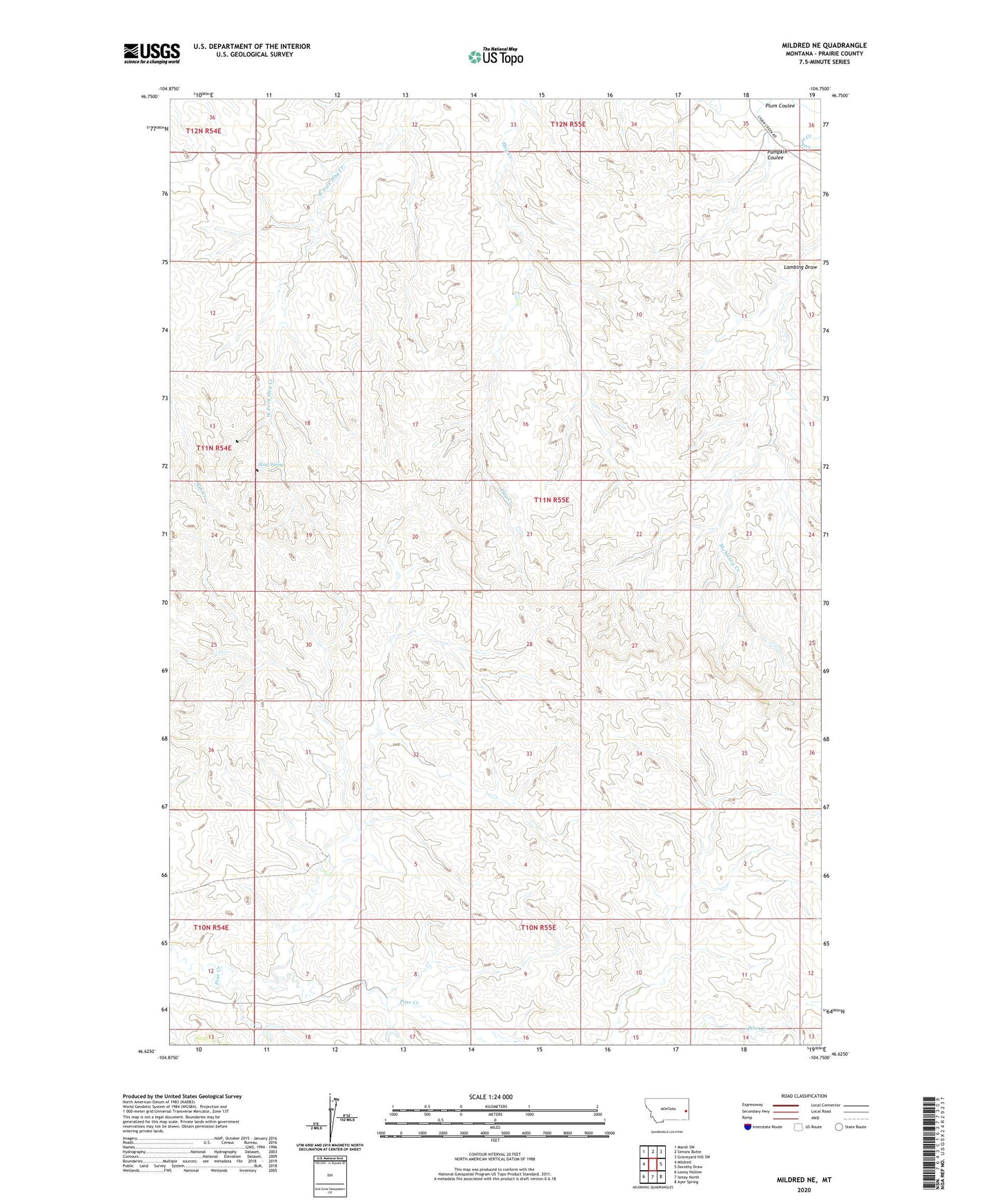
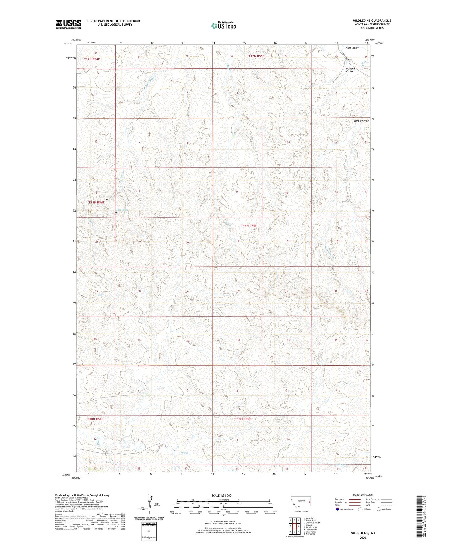
2020 topographic map quadrangle Mildred NE in the state of Montana. Scale: 1:24000. Based on the newly updated USGS 7.5' US Topo map series, this map is in the following counties: Prairie. The map contains contour data, water features, and other items you are used to seeing on USGS maps, but also has updated roads and other features. This is the next generation of topographic maps. Printed on high-quality waterproof paper with UV fade-resistant inks.
Quads adjacent to this one:
West: Mildred
Northwest: Marsh SW
North: Simons Butte
Northeast: Graveyard Hill SW
East: Dorothy Draw
Southeast: Ayer Spring
South: Ismay North
Southwest: Loony Hollow
Contains the following named places: 10N55E03BB__01 Well, 10N55E04BC__01 Well, 10N55E06ACAD01 Well, 10N55E06DA__01 Well, 10N55E08CBAB01 Well, 11N55E01BB__01 Well, 11N55E02AC__01 Well, 11N55E02BD__01 Well, 11N55E03AD__01 Well, 11N55E05AC__01 Well, 11N55E08BC__01 Well, 11N55E11CC__01 Well, 11N55E14AD__01 Well, 11N55E16DB__01 Well, 11N55E23BC__01 Well, 11N55E30CBDB01 Well, 11N55E34BD__01 Well, 11N55E35DD__01 Well, 12N55E31DB__01 Well, Buckley Dam, Lambing Draw, Plum Coulee, Pumpkin Coulee, Red Hill School, Ruff School, Shad Spring, Trabert School, Vogele Reservoir Dam