MyTopo
Montague Montana US Topo Map
Couldn't load pickup availability
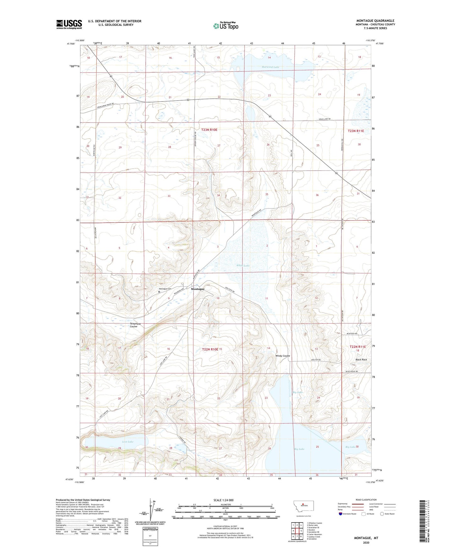
2024 topographic map quadrangle Montague in the state of Montana. Scale: 1:24000. Based on the newly updated USGS 7.5' US Topo map series, this map is in the following counties: Chouteau. The map contains contour data, water features, and other items you are used to seeing on USGS maps, but also has updated roads and other features. This is the next generation of topographic maps. Printed on high-quality waterproof paper with UV fade-resistant inks.
Quads adjacent to this one:
West: Shonkin
North: Rocky Lake
Northeast: Stranahan SE
East: Geraldine NE
Southeast: Geraldine
South: Lepleys Creek
Southwest: Carter Mountain
This map covers the same area as the classic USGS quad with code o47110f4.
Contains the following named places: Big Lake, Black Rock, Davidson Post Office, Harwood Lake, Harwood Stage Station, Kheta Dam, Lepleys Creek, Lost Lake, Lostlake Post Office, Montague, Montague Cemetery, Montague Post Office, Montague School, Telephone Coulee, White Lake, Windy Coulee