MyTopo
Geraldine NE Montana US Topo Map
Couldn't load pickup availability
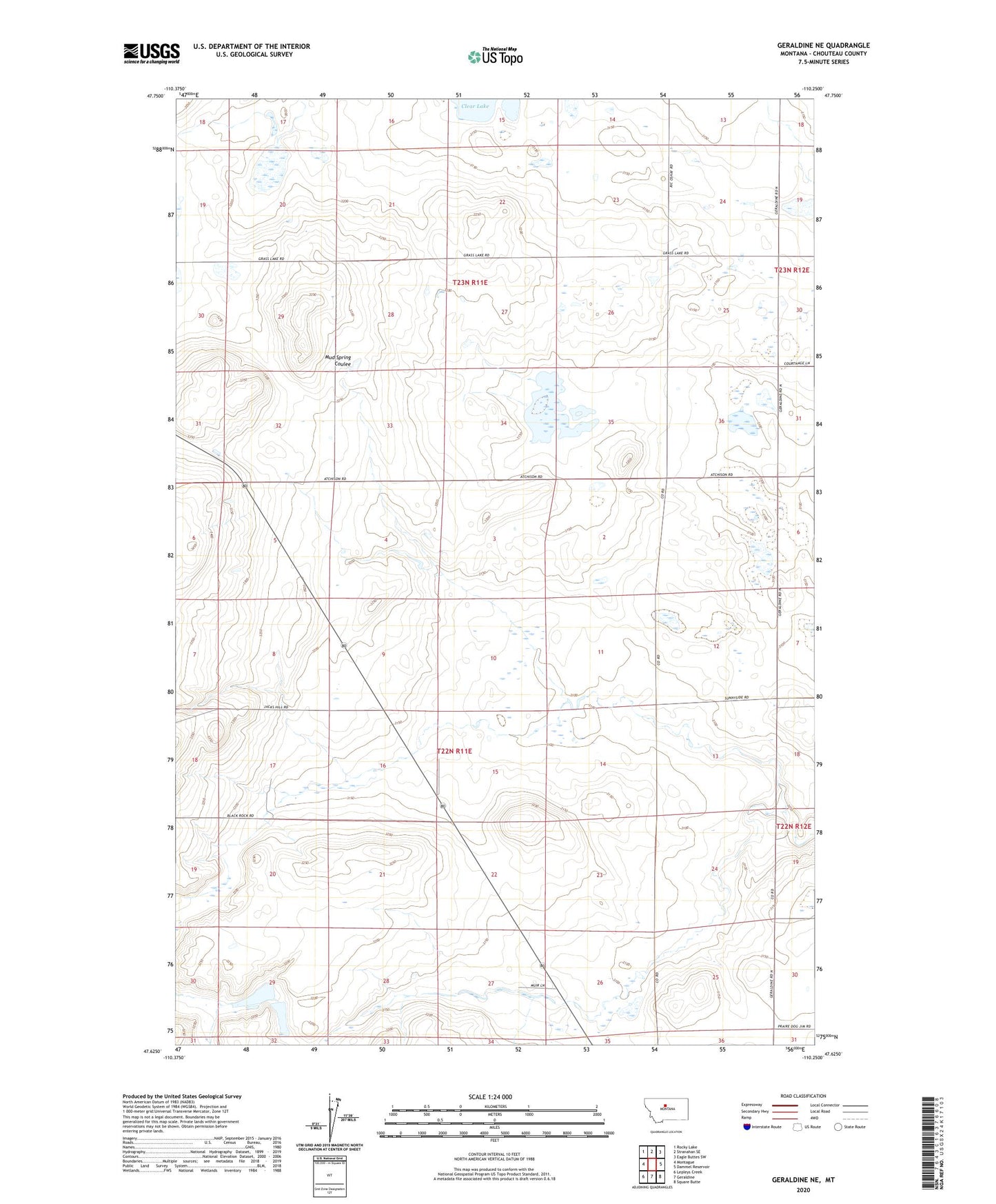
2024 topographic map quadrangle Geraldine NE in the state of Montana. Scale: 1:24000. Based on the newly updated USGS 7.5' US Topo map series, this map is in the following counties: Chouteau. The map contains contour data, water features, and other items you are used to seeing on USGS maps, but also has updated roads and other features. This is the next generation of topographic maps. Printed on high-quality waterproof paper with UV fade-resistant inks.
Quads adjacent to this one:
West: Montague
Northwest: Rocky Lake
North: Stranahan SE
Northeast: Eagle Buttes SW
East: Dammel Reservoir
Southeast: Square Butte
South: Geraldine
Southwest: Lepleys Creek
This map covers the same area as the classic USGS quad with code o47110f3.
Contains the following named places: 22N11E15BCCB01 Well, 22N11E27ACDC01 Well, 22N11E30DDBB01 Well, 23N11E24CDDA01 Well, Thurston Dam