MyTopo
Morehouse Creek Montana US Topo Map
Couldn't load pickup availability
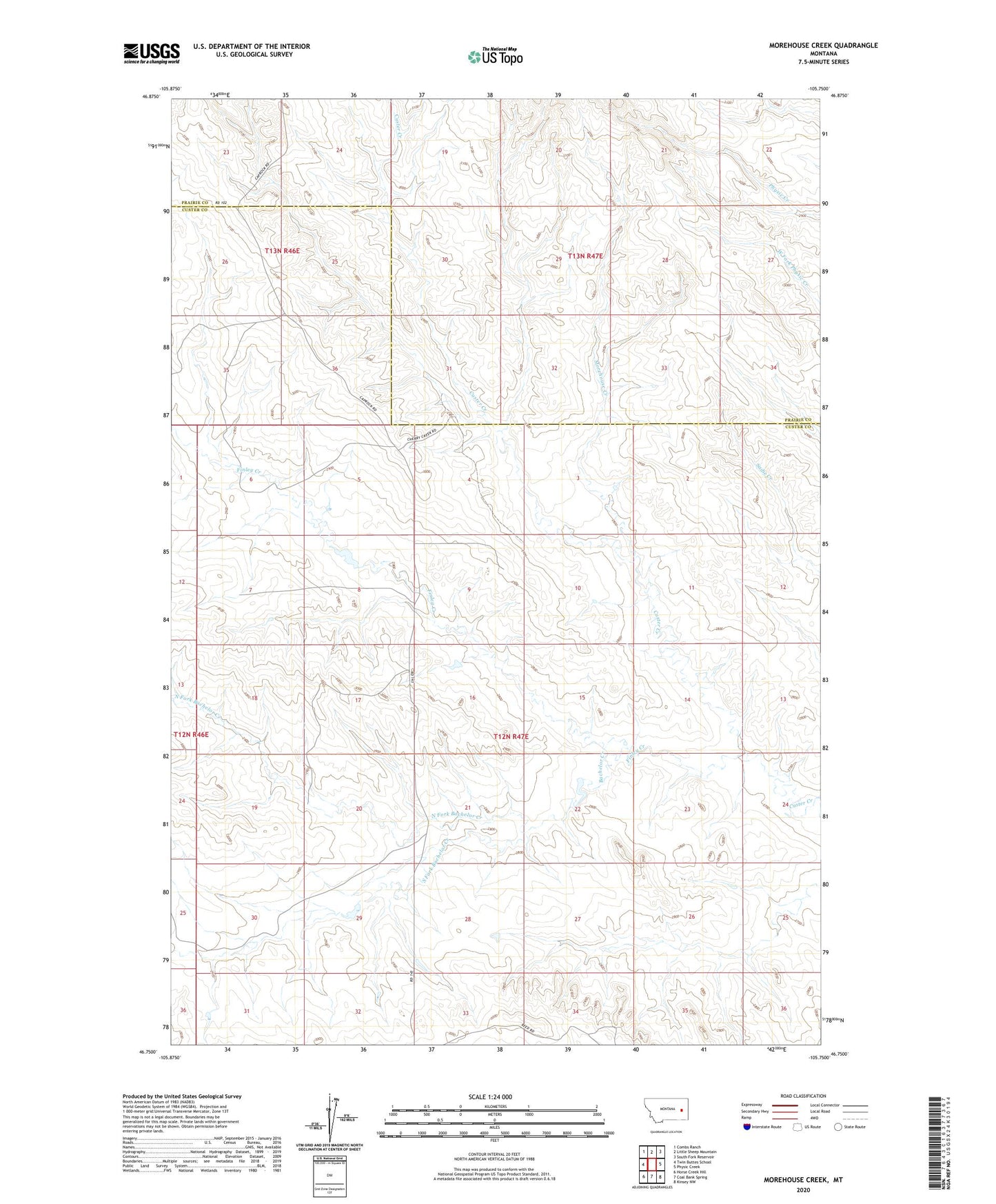
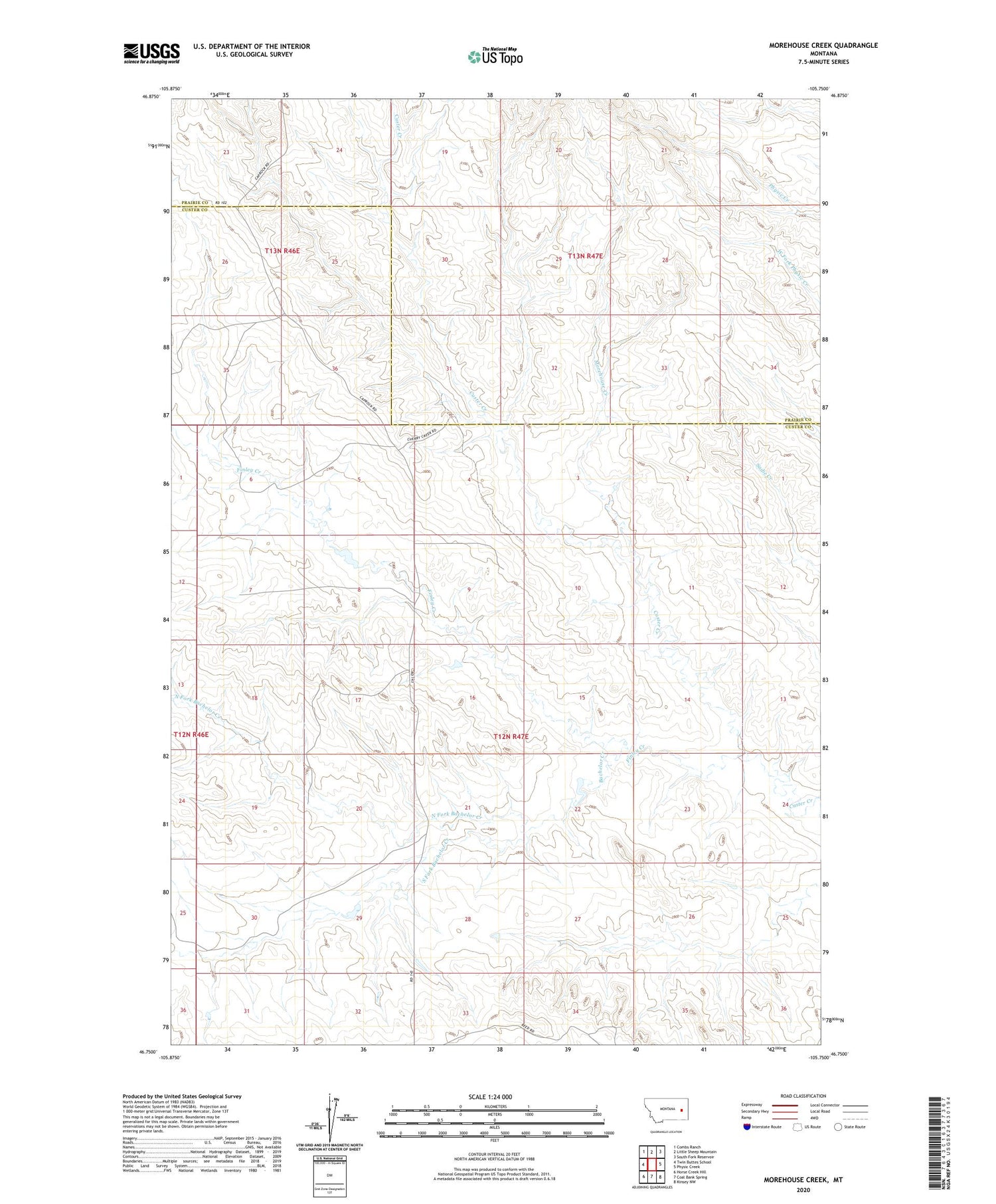
2020 topographic map quadrangle Morehouse Creek in the state of Montana. Scale: 1:24000. Based on the newly updated USGS 7.5' US Topo map series, this map is in the following counties: Custer, Prairie. The map contains contour data, water features, and other items you are used to seeing on USGS maps, but also has updated roads and other features. This is the next generation of topographic maps. Printed on high-quality waterproof paper with UV fade-resistant inks.
Quads adjacent to this one:
West: Twin Buttes School
Northwest: Combs Ranch
North: Little Sheep Mountain
Northeast: South Fork Reservoir
East: Physic Creek
Southeast: Kinsey NW
South: Coal Bank Spring
Southwest: Horse Creek Hill
Contains the following named places: 12N45E20BCCB01 Well, 12N47E04AABC01 Well, 12N47E20BCCB01 Well, 12N47E24DBBA01 Well, 12N47E30DAAB01 Well, 12N47E34DABA01 Well, 13N46E24DA__01 Well, 13N46E25DBBC01 Well, 13N47E29CCAD01 Well, 13N47E31CDAD01 Well, Bachelor Creek, Cap Rock School, Finley Creek, Finley Creek School, Morehouse Creek, North Fork Bachelor Creek, South Fork Bachelor Creek, T-Diamond Number 1 Dam