MyTopo
Morningstar Mountain Montana US Topo Map
Couldn't load pickup availability
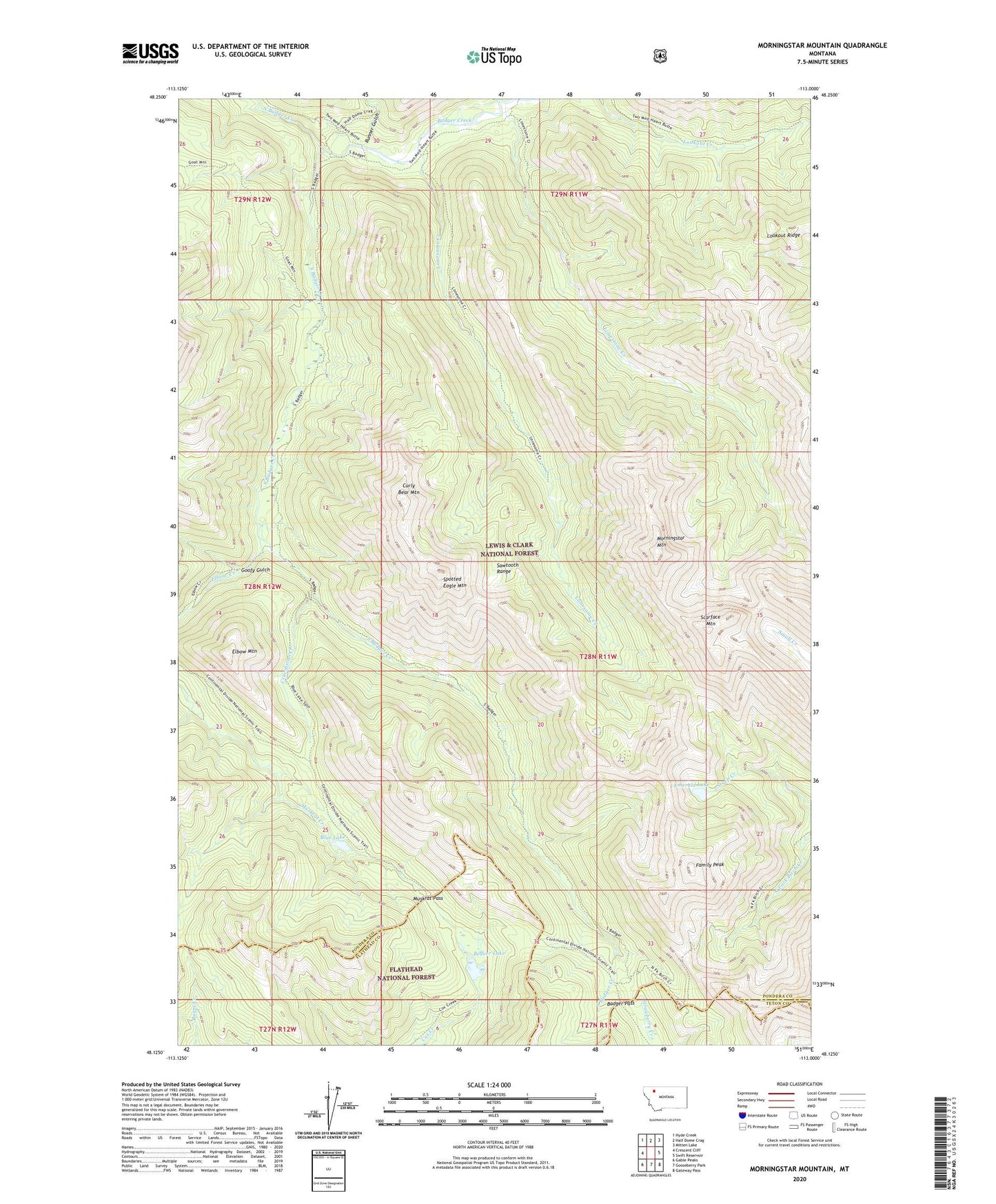
2020 topographic map quadrangle Morningstar Mountain in the state of Montana. Scale: 1:24000. Based on the newly updated USGS 7.5' US Topo map series, this map is in the following counties: Pondera, Flathead, Teton. The map contains contour data, water features, and other items you are used to seeing on USGS maps, but also has updated roads and other features. This is the next generation of topographic maps. Printed on high-quality waterproof paper with UV fade-resistant inks.
Quads adjacent to this one:
West: Crescent Cliff
Northwest: Hyde Creek
North: Half Dome Crag
Northeast: Mitten Lake
East: Swift Reservoir
Southeast: Gateway Pass
South: Gooseberry Park
Southwest: Gable Peaks
Contains the following named places: Badger Pass, Beaver Lake, Blue Lake, Crucifixion Creek, Curly Bear Mountain, Elbow Creek, Elbow Mountain, Emerald Lake, Family Peak, Goofy Gulch, Limestone Creek, Lonesome Creek, Morningstar Mountain, Muskrat Creek Trail, Muskrat Pass, North Badger Creek, Runner Gulch, Scarface Mountain, South Badger Creek, Spotted Eagle Mountain