MyTopo
Morris Butte Montana US Topo Map
Couldn't load pickup availability
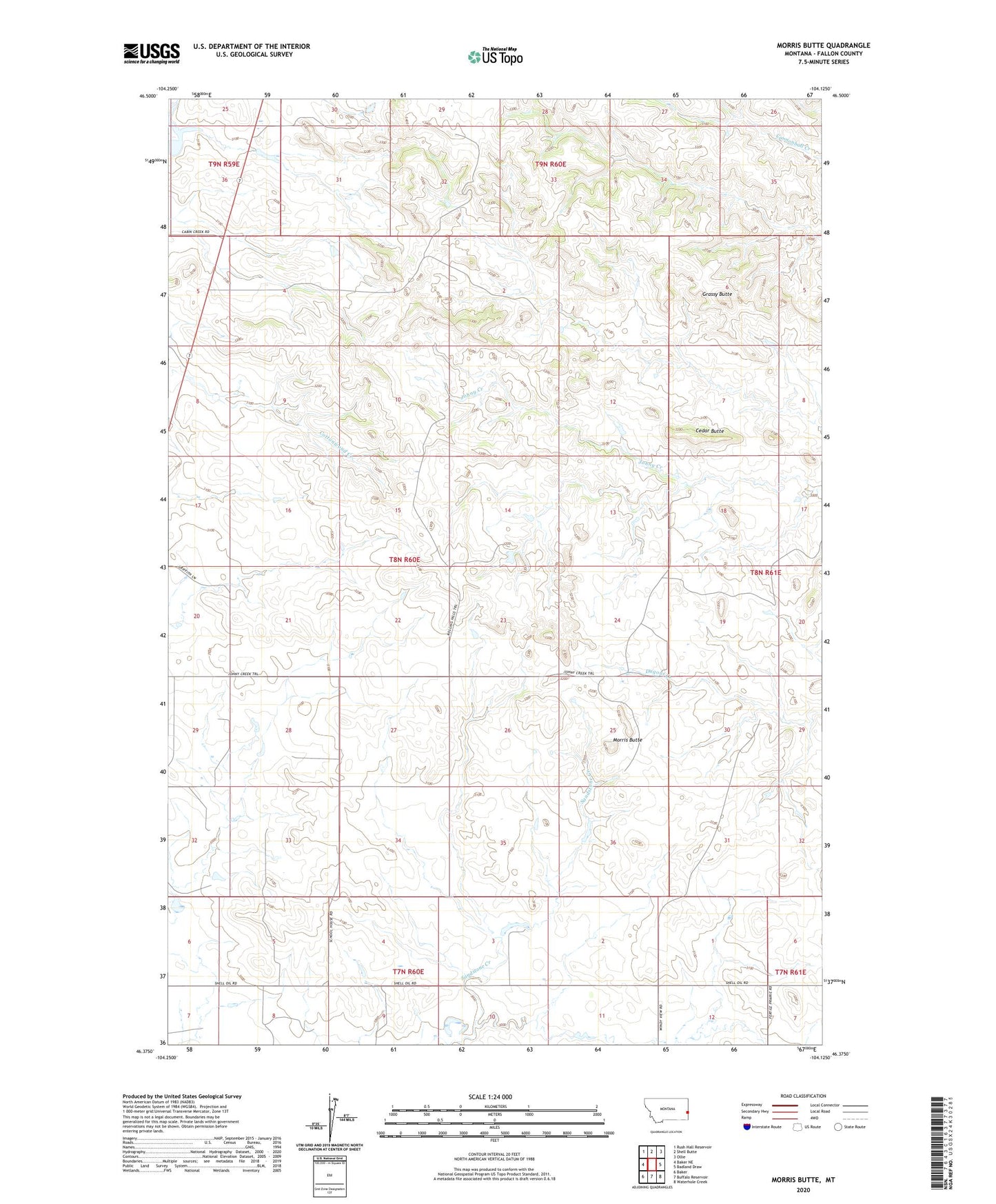
2024 topographic map quadrangle Morris Butte in the state of Montana. Scale: 1:24000. Based on the newly updated USGS 7.5' US Topo map series, this map is in the following counties: Fallon. The map contains contour data, water features, and other items you are used to seeing on USGS maps, but also has updated roads and other features. This is the next generation of topographic maps. Printed on high-quality waterproof paper with UV fade-resistant inks.
Quads adjacent to this one:
West: Baker NE
Northwest: Rush Hall Reservoir
North: Shell Butte
Northeast: Ollie
East: Badland Draw
Southeast: Waterhole Creek
South: Buffalo Reservoir
Southwest: Baker
This map covers the same area as the classic USGS quad with code o46104d2.
Contains the following named places: 08N60E02DB__01 Well, 08N60E15ABB_01 Well, Cedar Butte, Grassy Butte, Halmans Number 3 Dam, Mildred Number 1 Dam, Morris Butte