MyTopo
Rush Hall Reservoir Montana US Topo Map
Couldn't load pickup availability
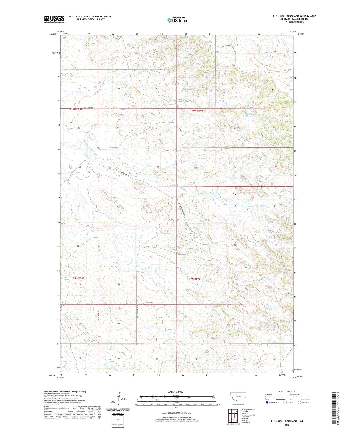
2024 topographic map quadrangle Rush Hall Reservoir in the state of Montana. Scale: 1:24000. Based on the newly updated USGS 7.5' US Topo map series, this map is in the following counties: Fallon. The map contains contour data, water features, and other items you are used to seeing on USGS maps, but also has updated roads and other features. This is the next generation of topographic maps. Printed on high-quality waterproof paper with UV fade-resistant inks.
Quads adjacent to this one:
West: Lawrence Creek East
Northwest: Rocking Chair Butte
North: Cap Rock
Northeast: Carlyle NW
East: Shell Butte
Southeast: Morris Butte
South: Baker NE
Southwest: Baker NW
This map covers the same area as the classic USGS quad with code o46104e3.
Contains the following named places: 10N58E25AA__01 Well, 10N59E15ABD_01 Well, 10N59E22DD__01 Well, Cupton Oil Field, Hall Dam, Keirle Dam, Keirle Number 3 Dam, Rush Hall Fishing Access Site, Rush Hall Reservoir